MAPS
giving bound to the boundless
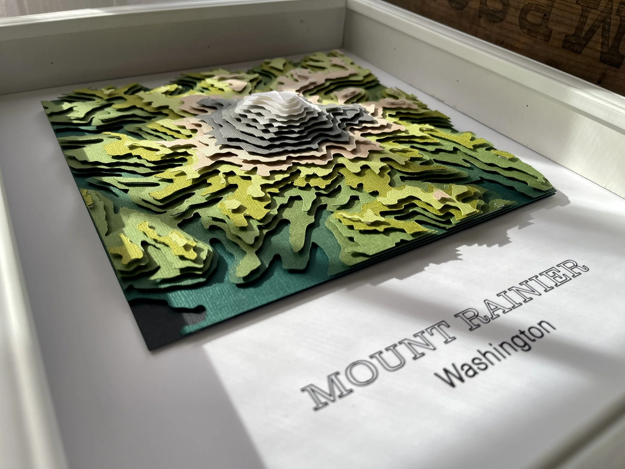
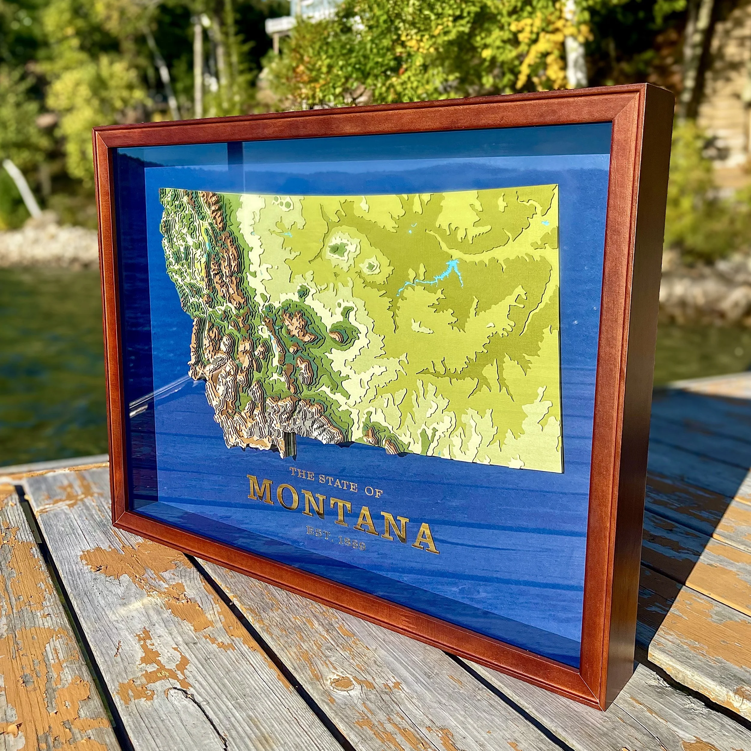
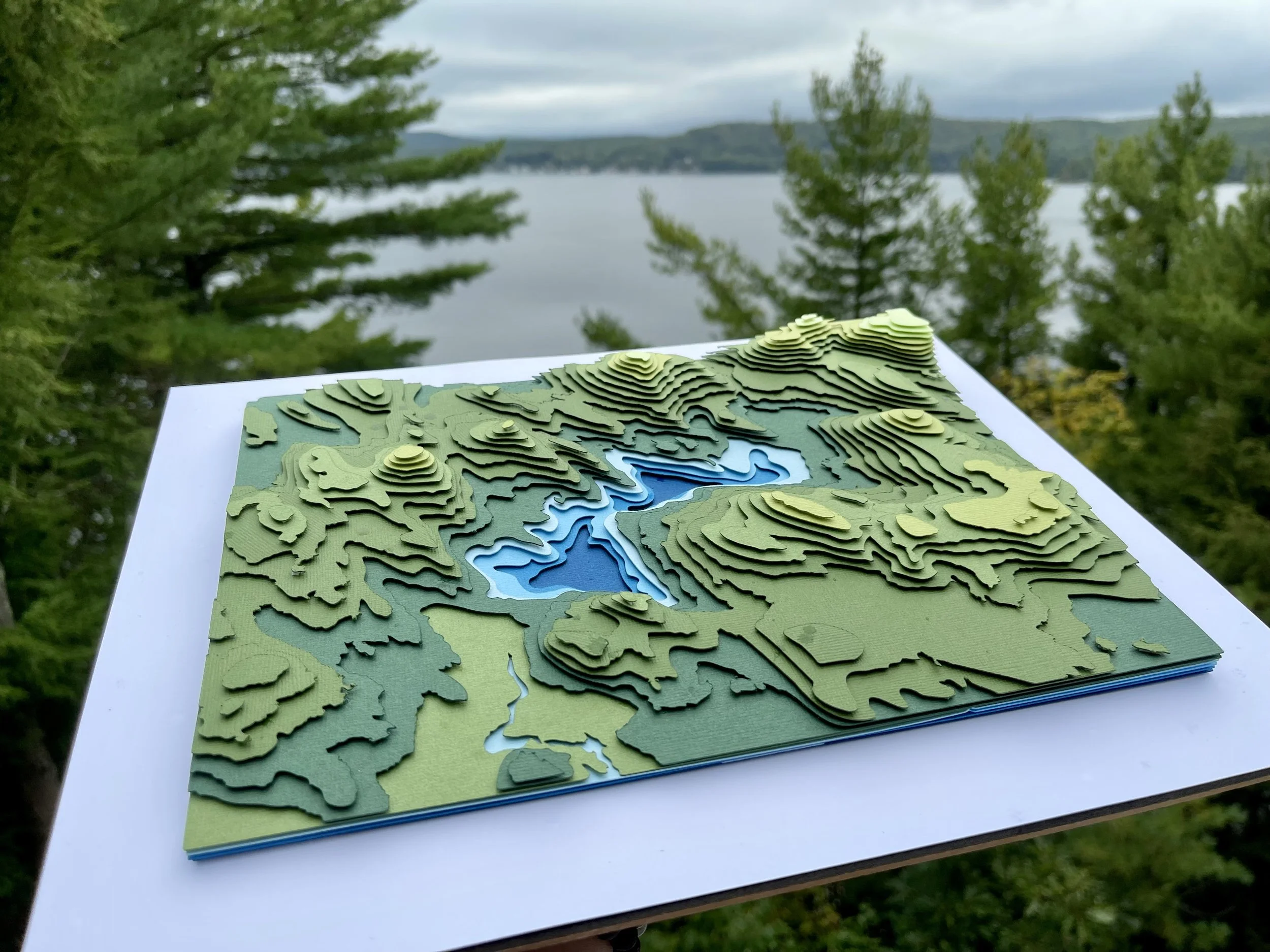
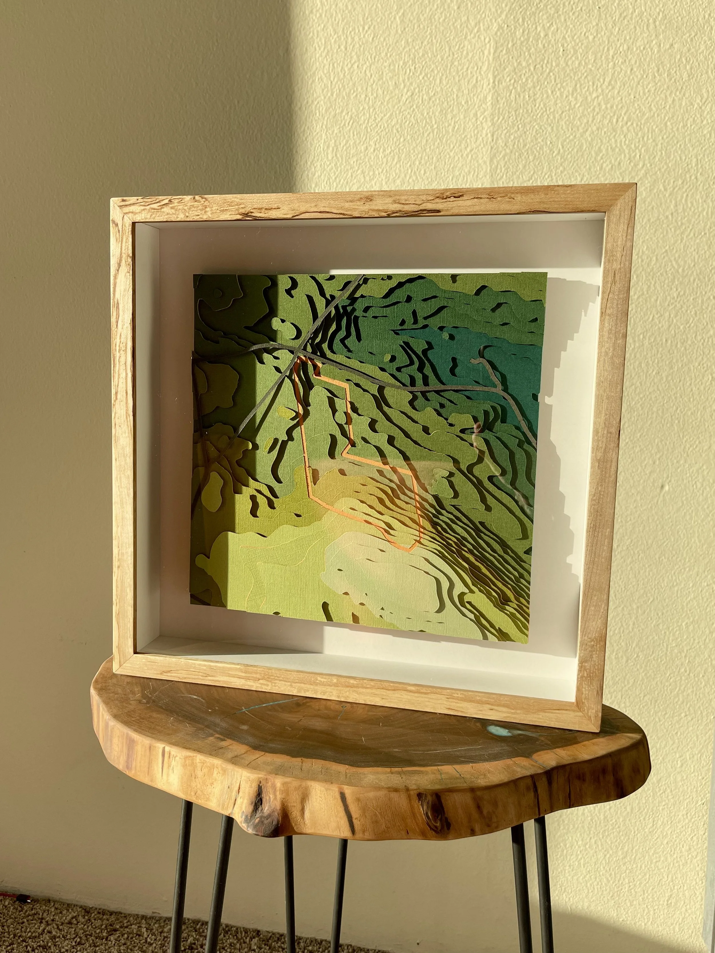
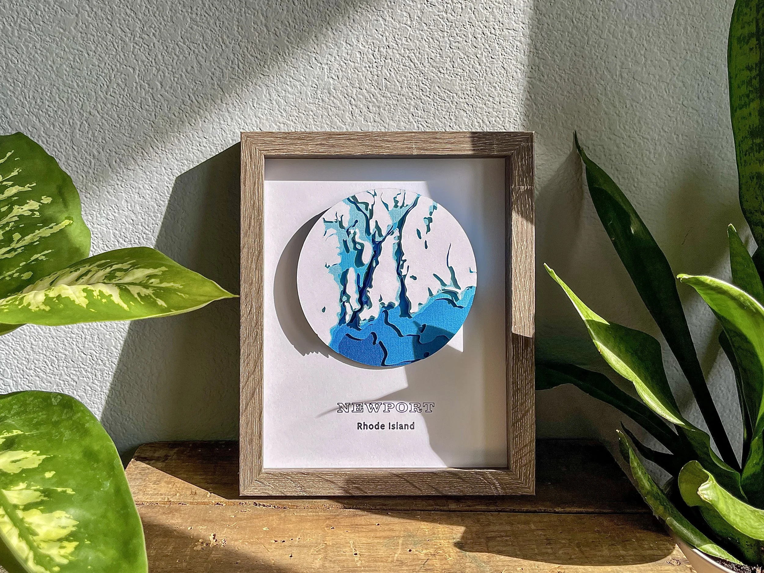
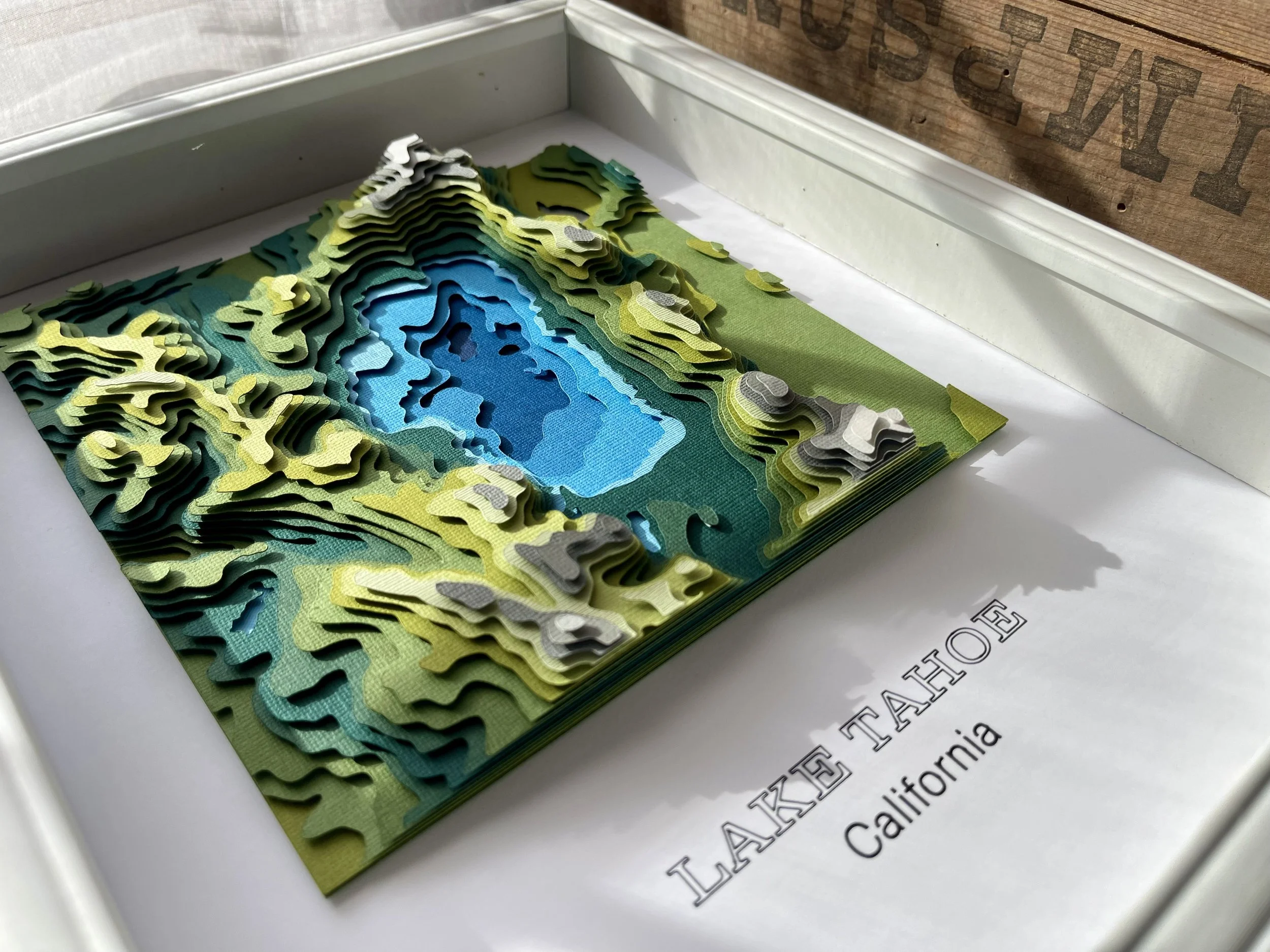
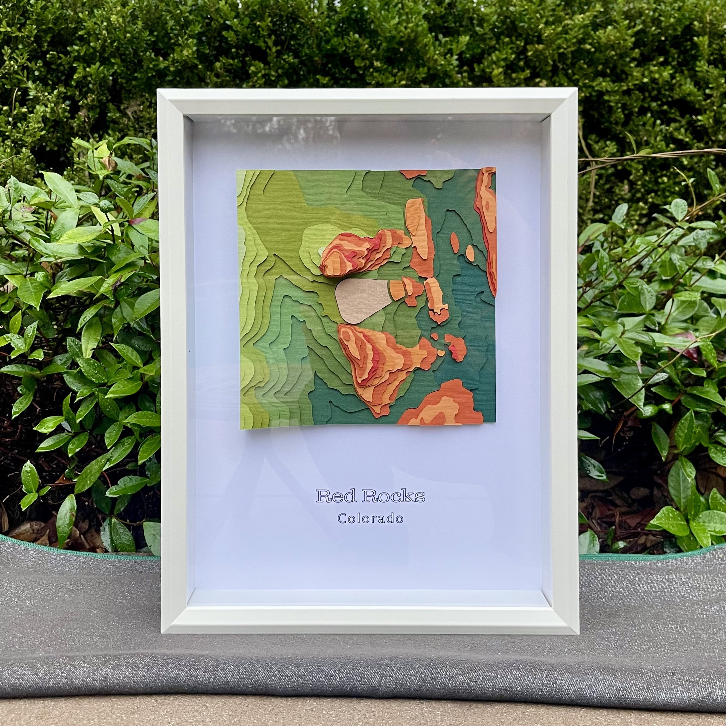
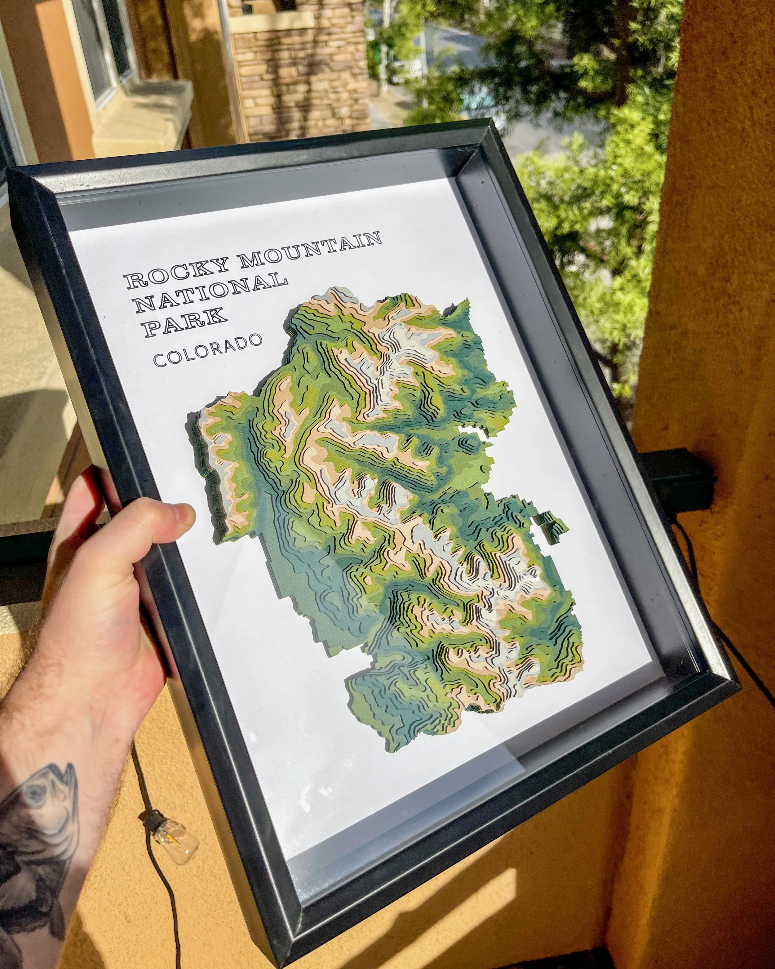
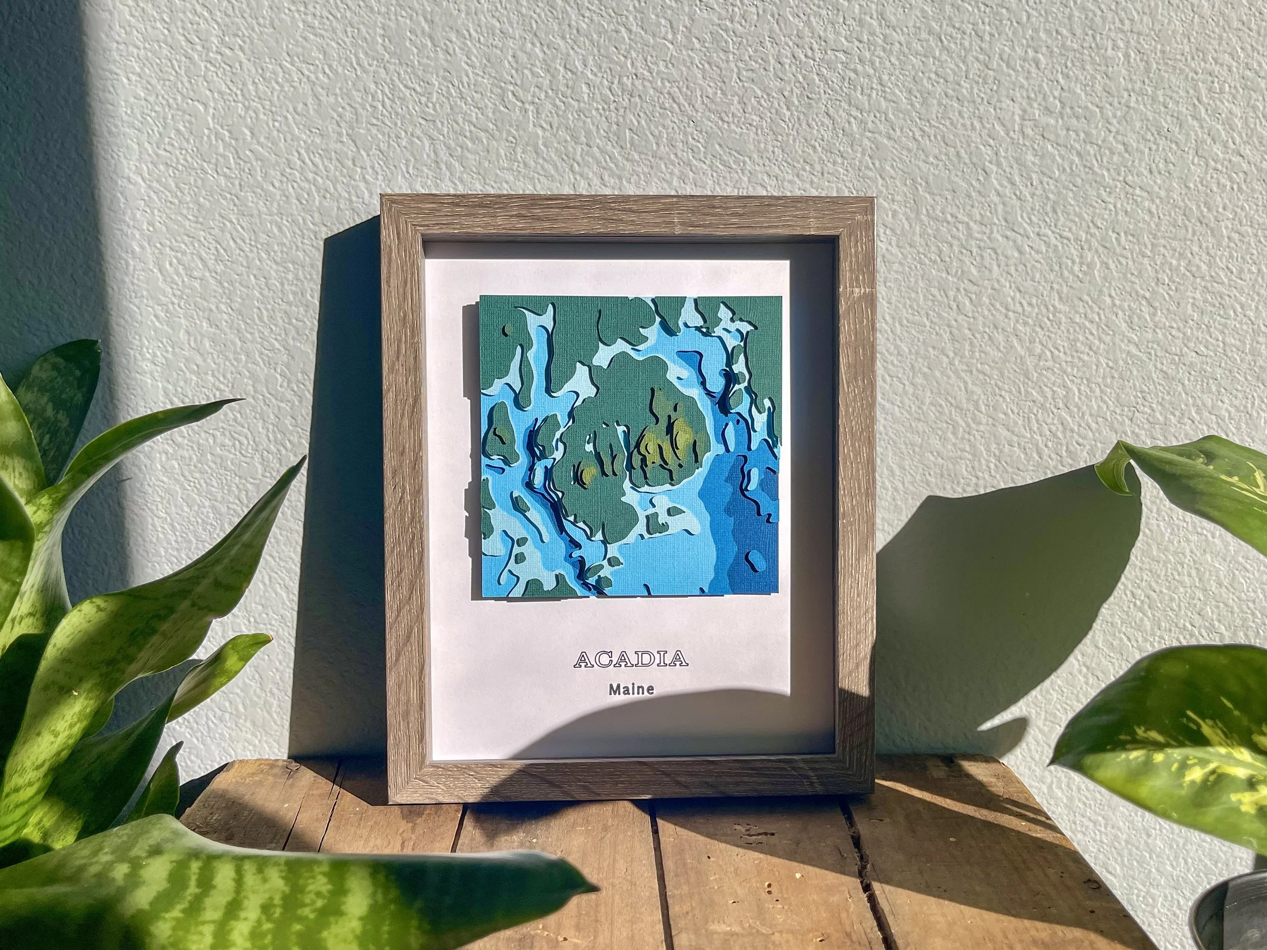
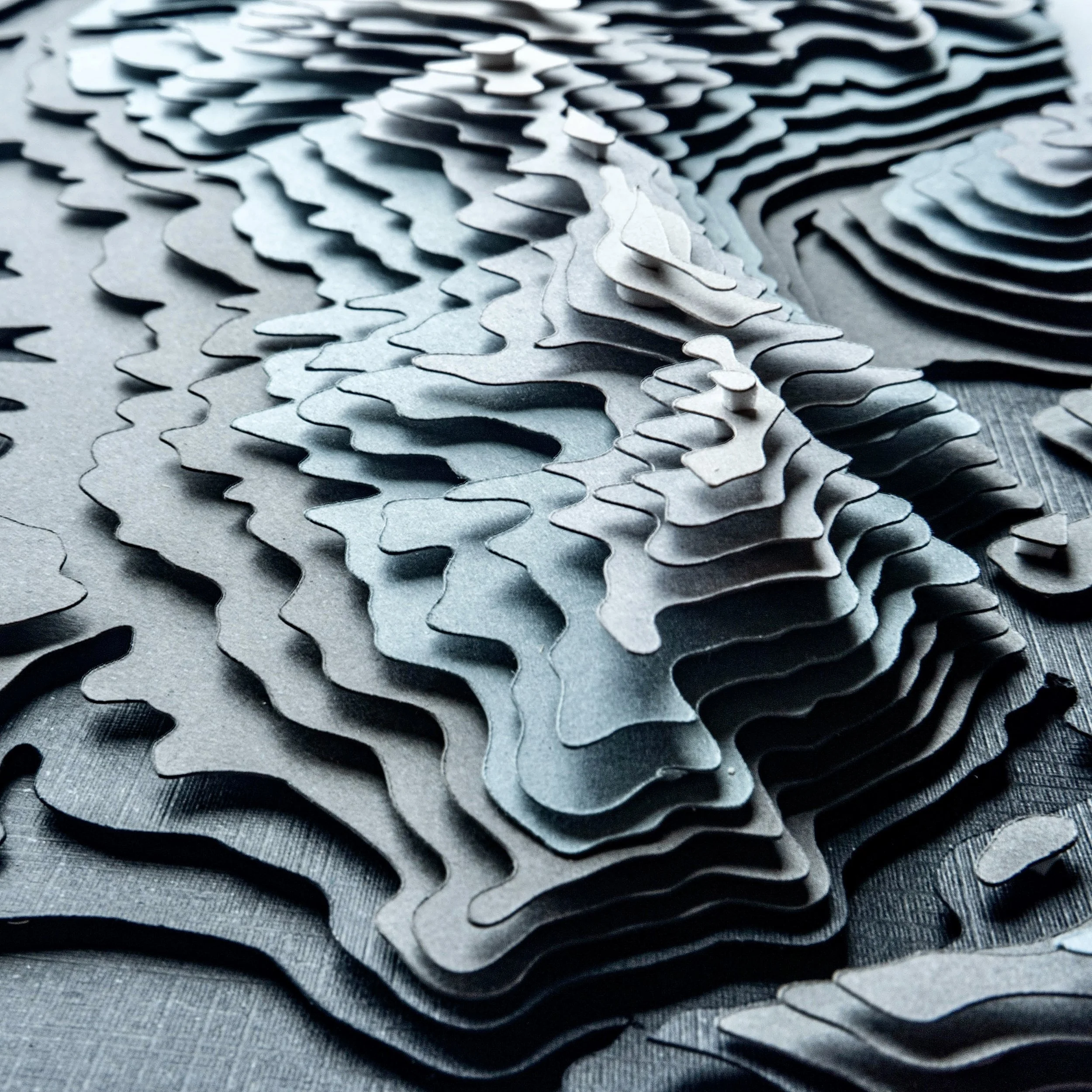
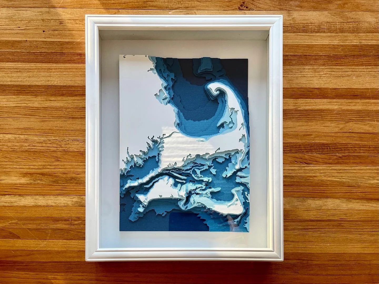
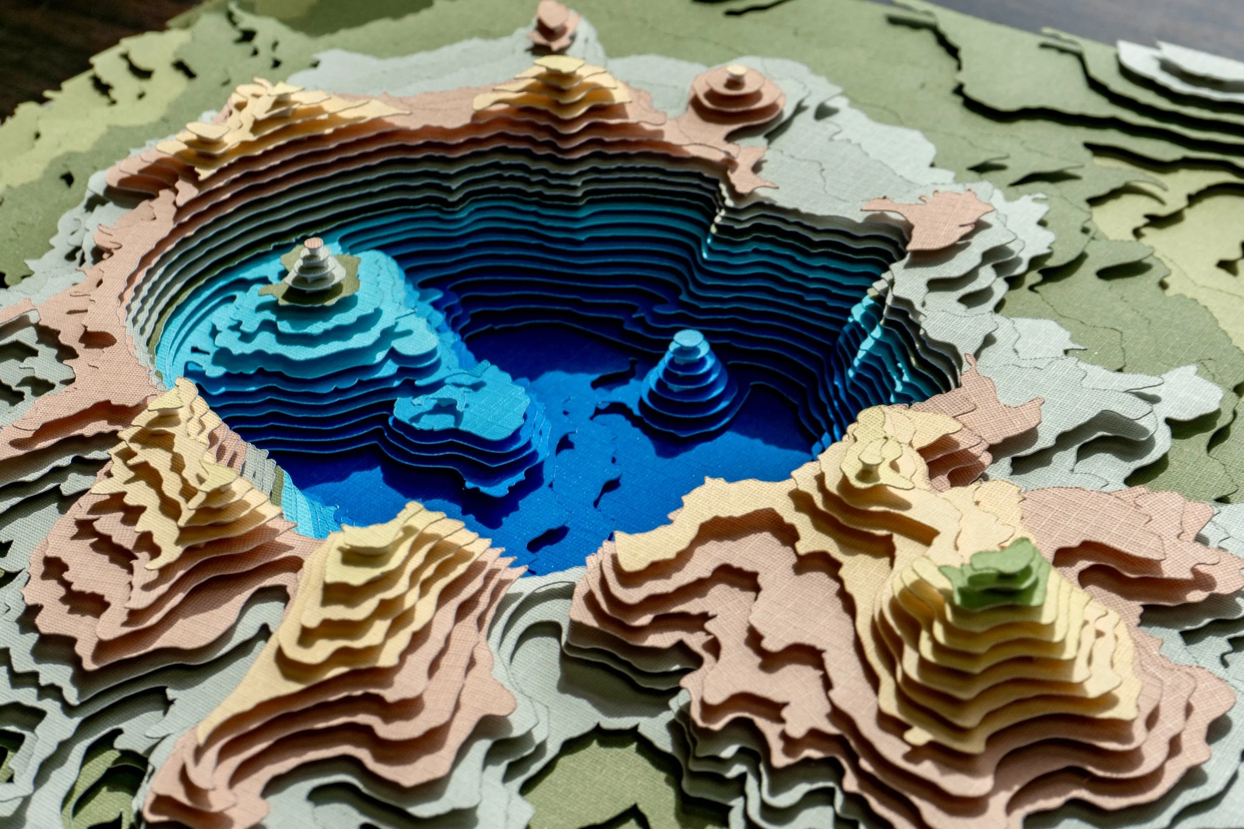
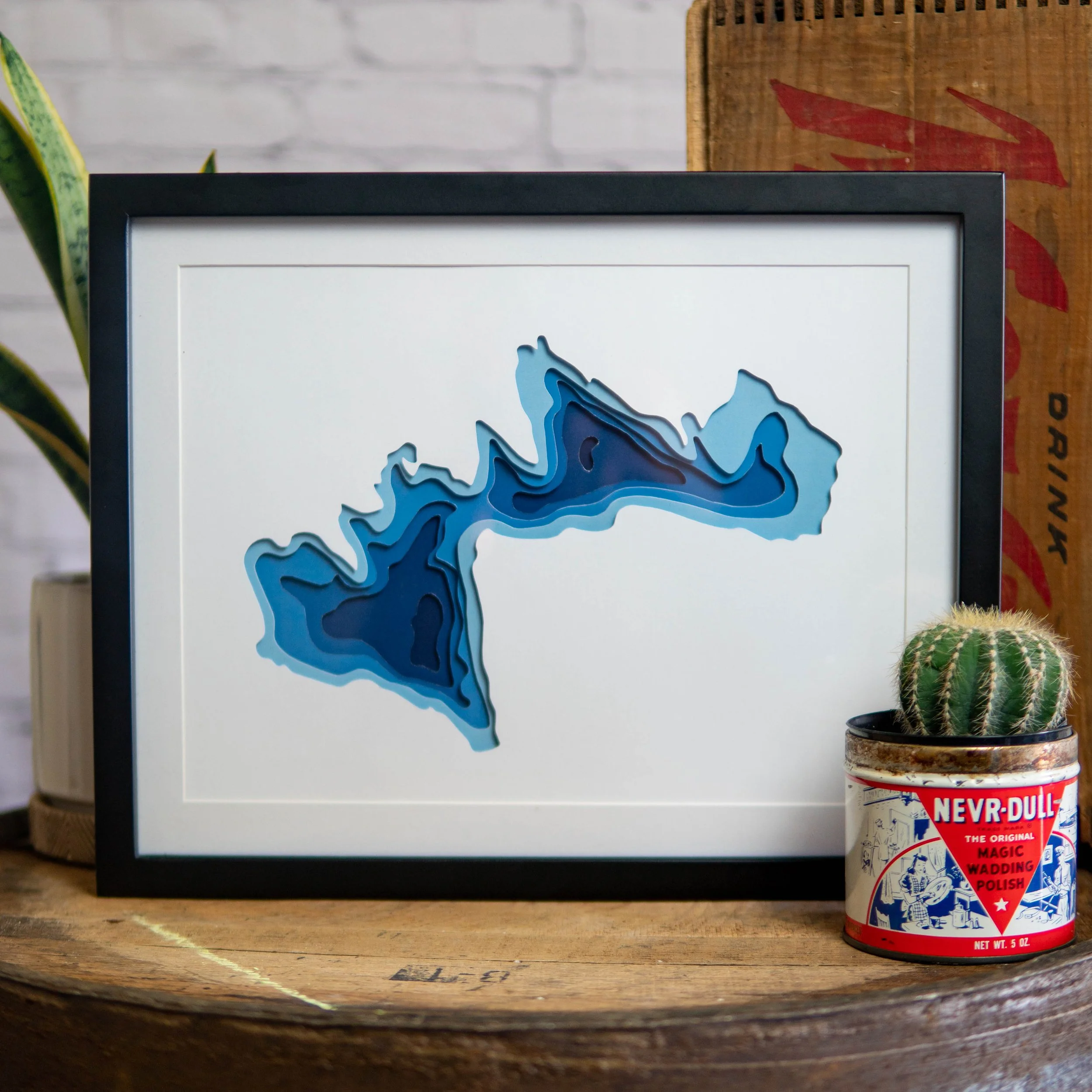
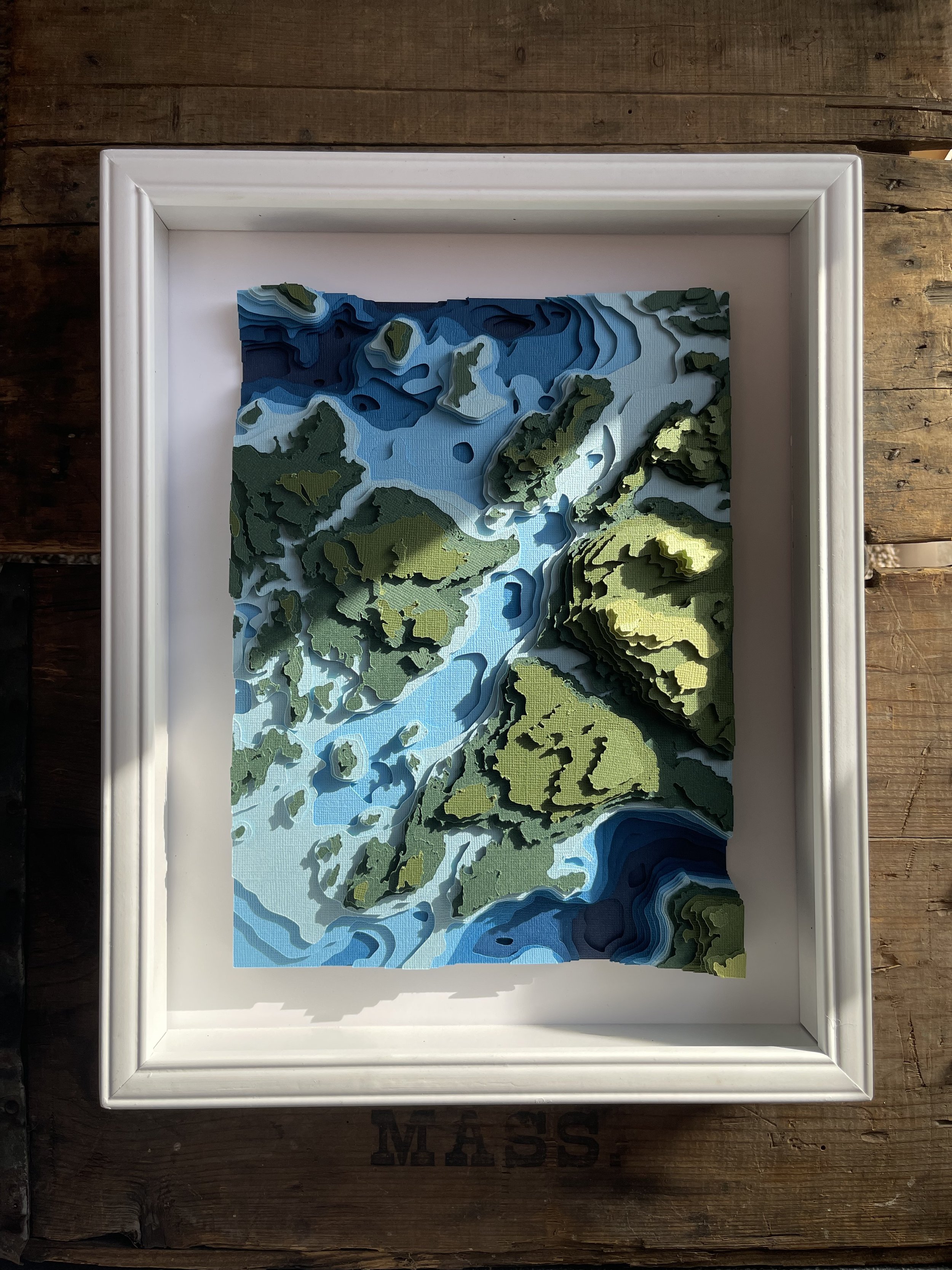
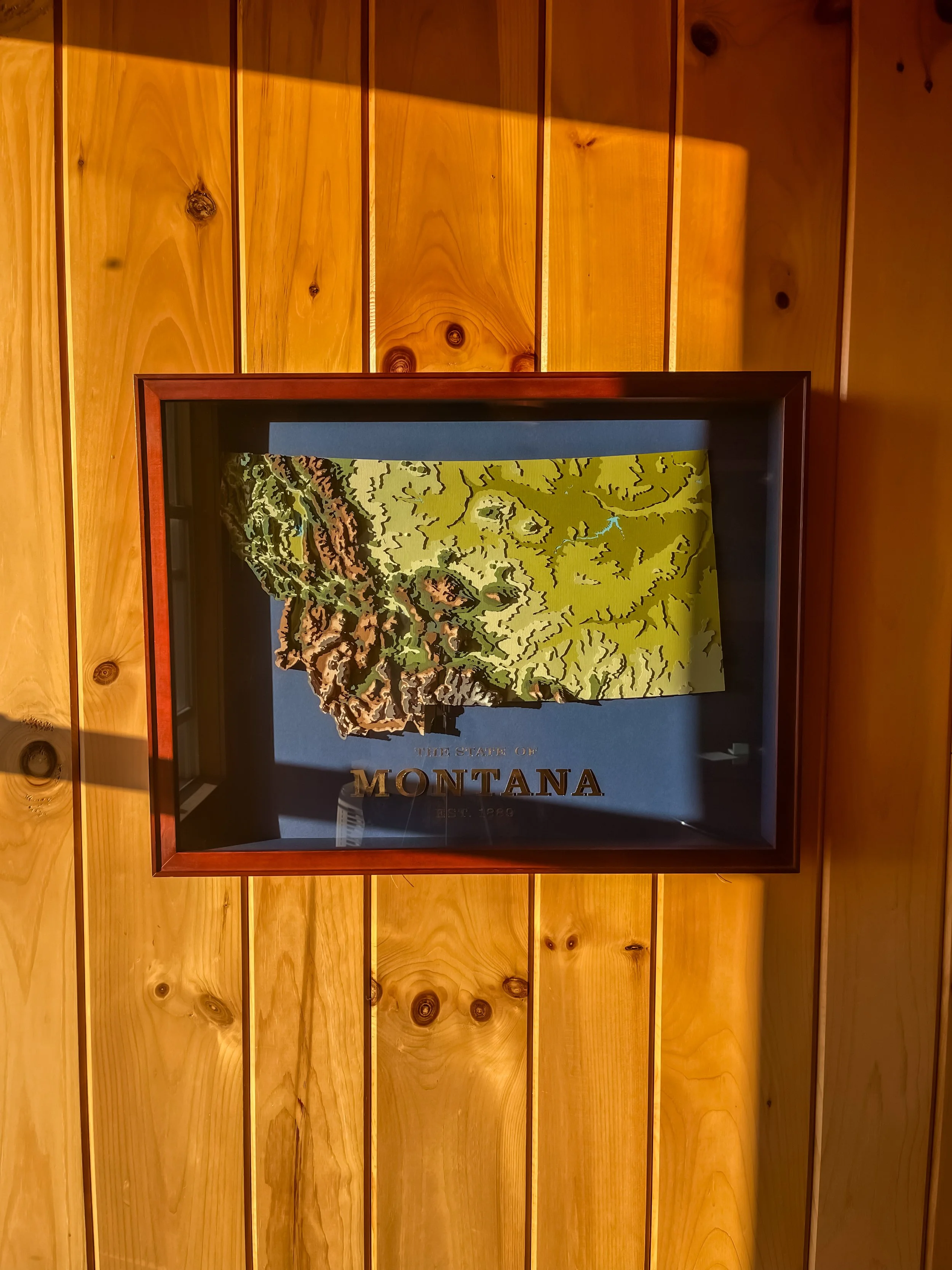
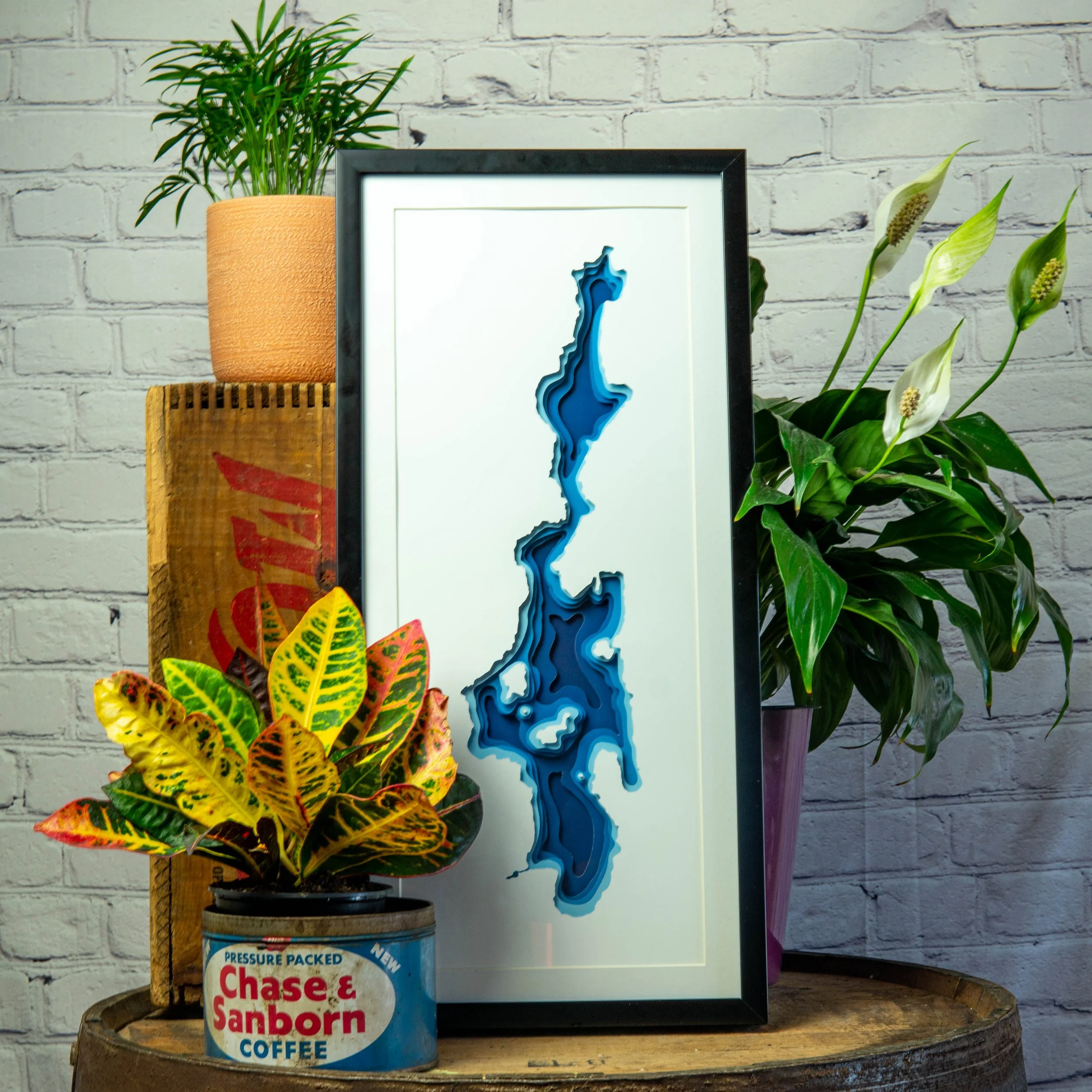
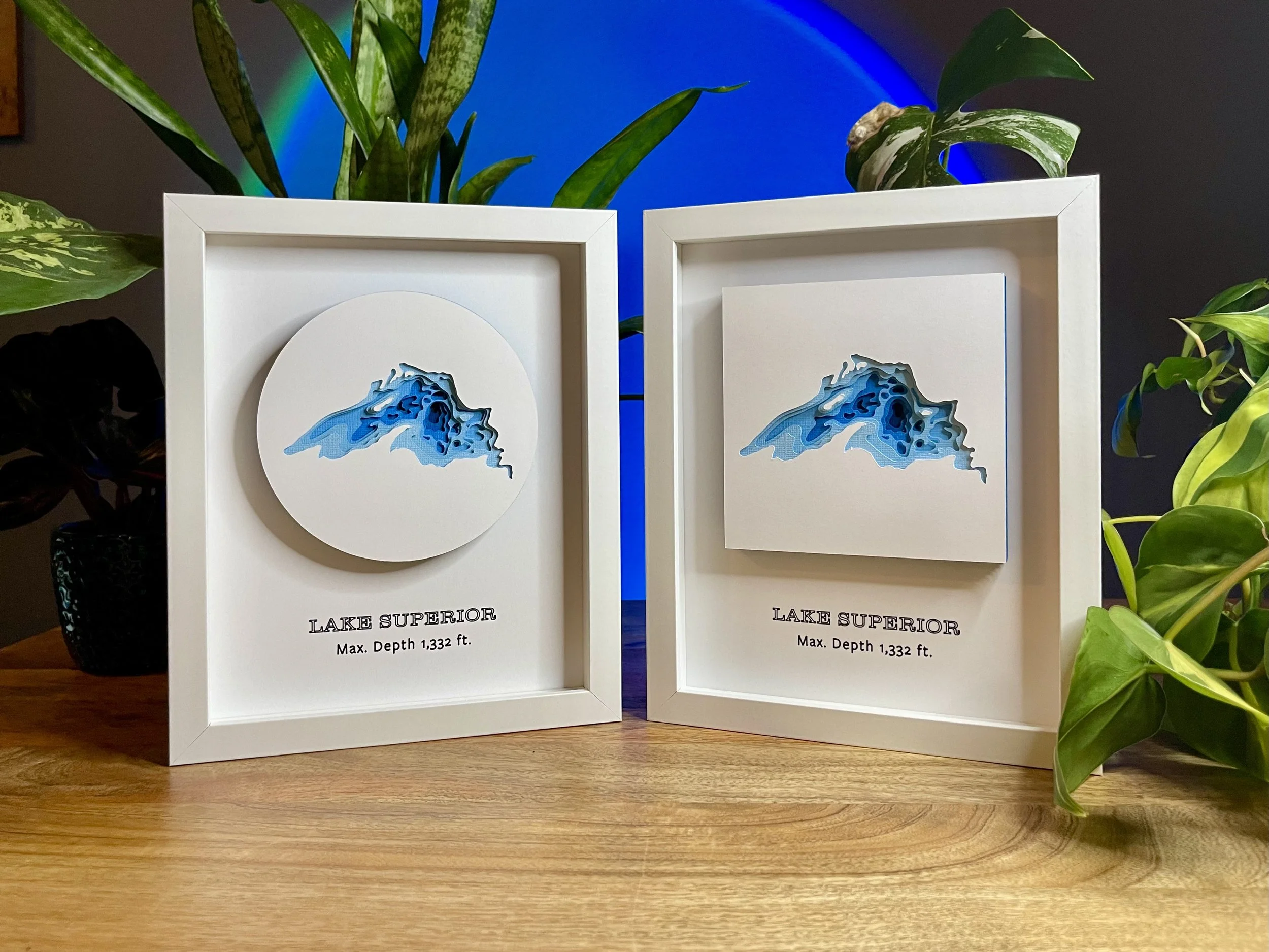
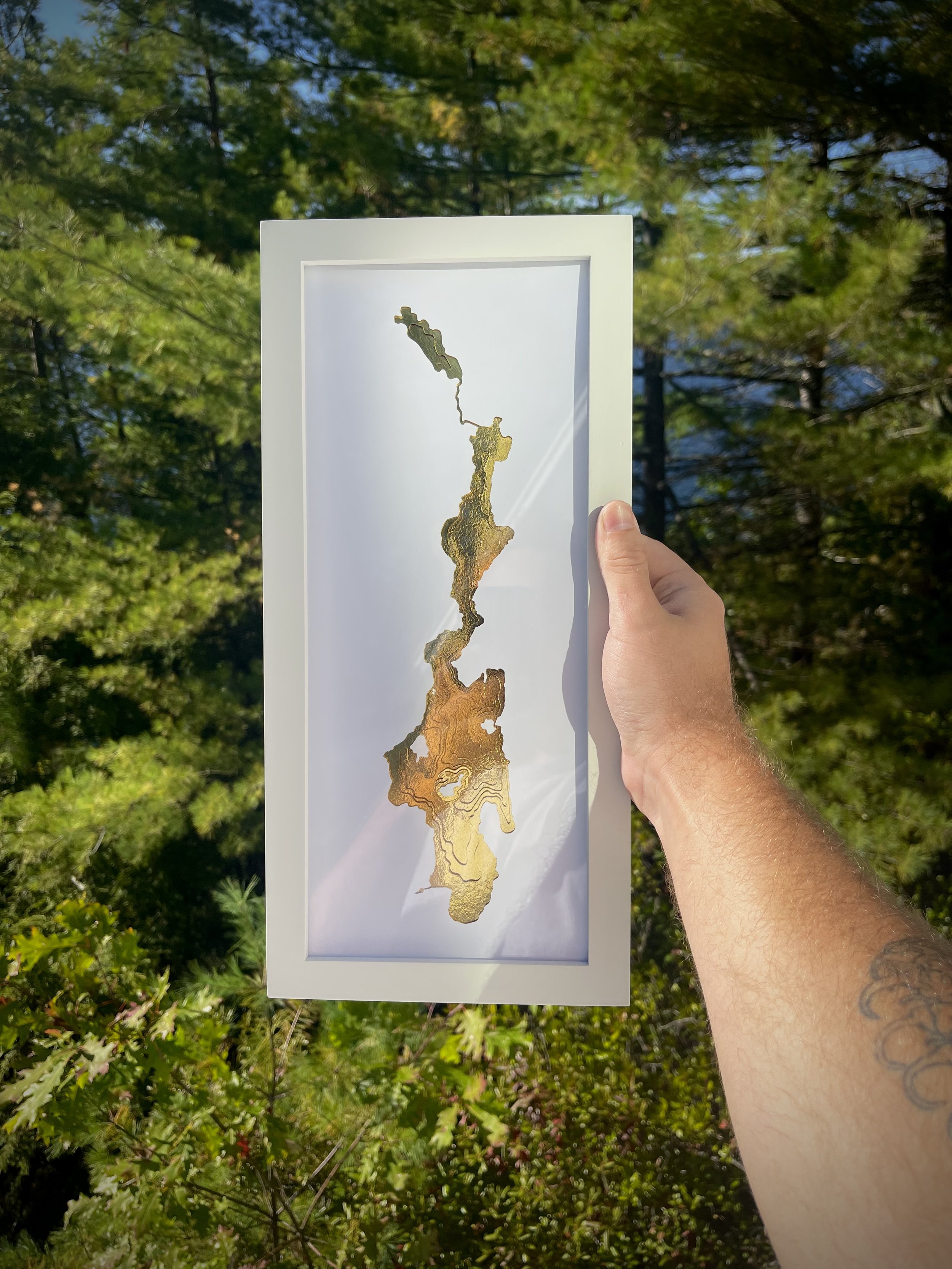
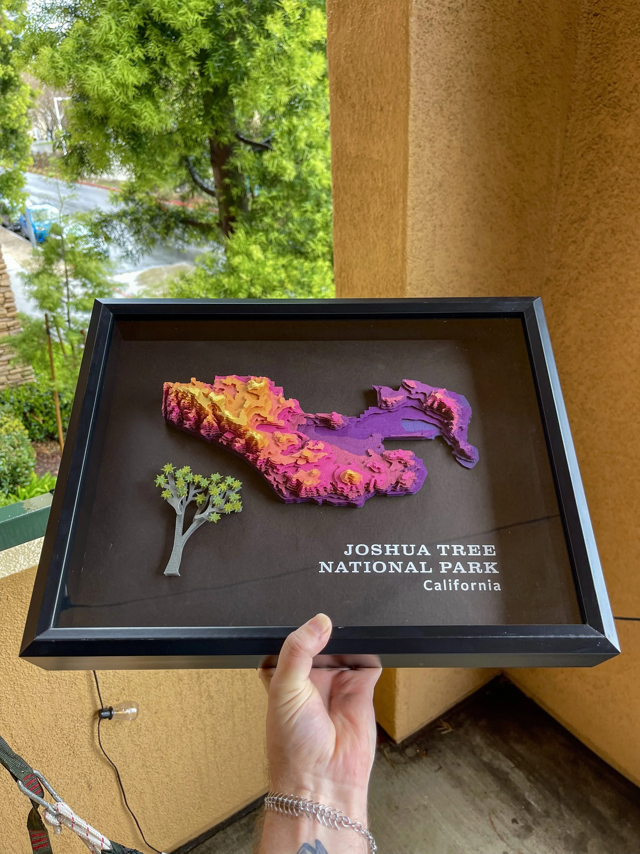
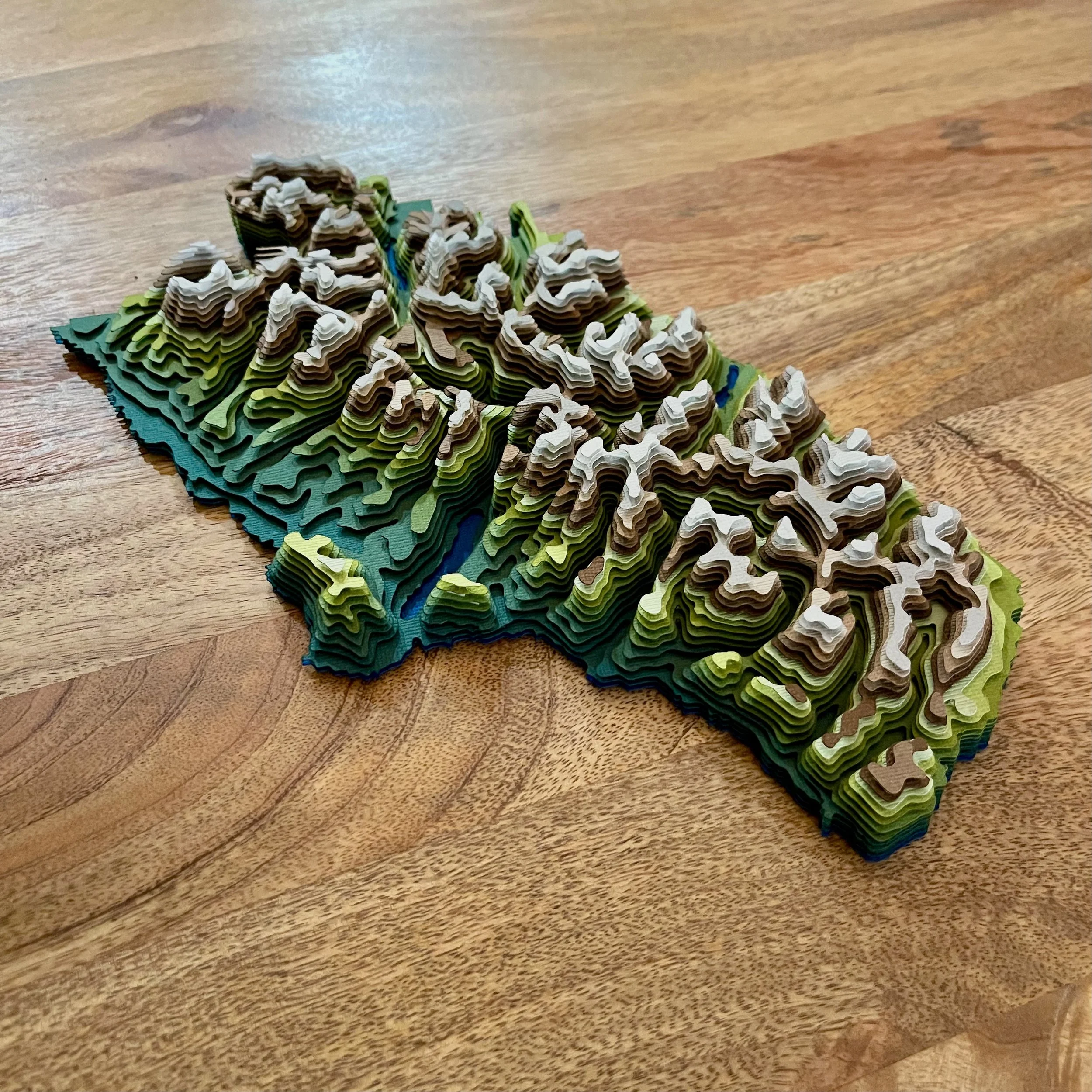
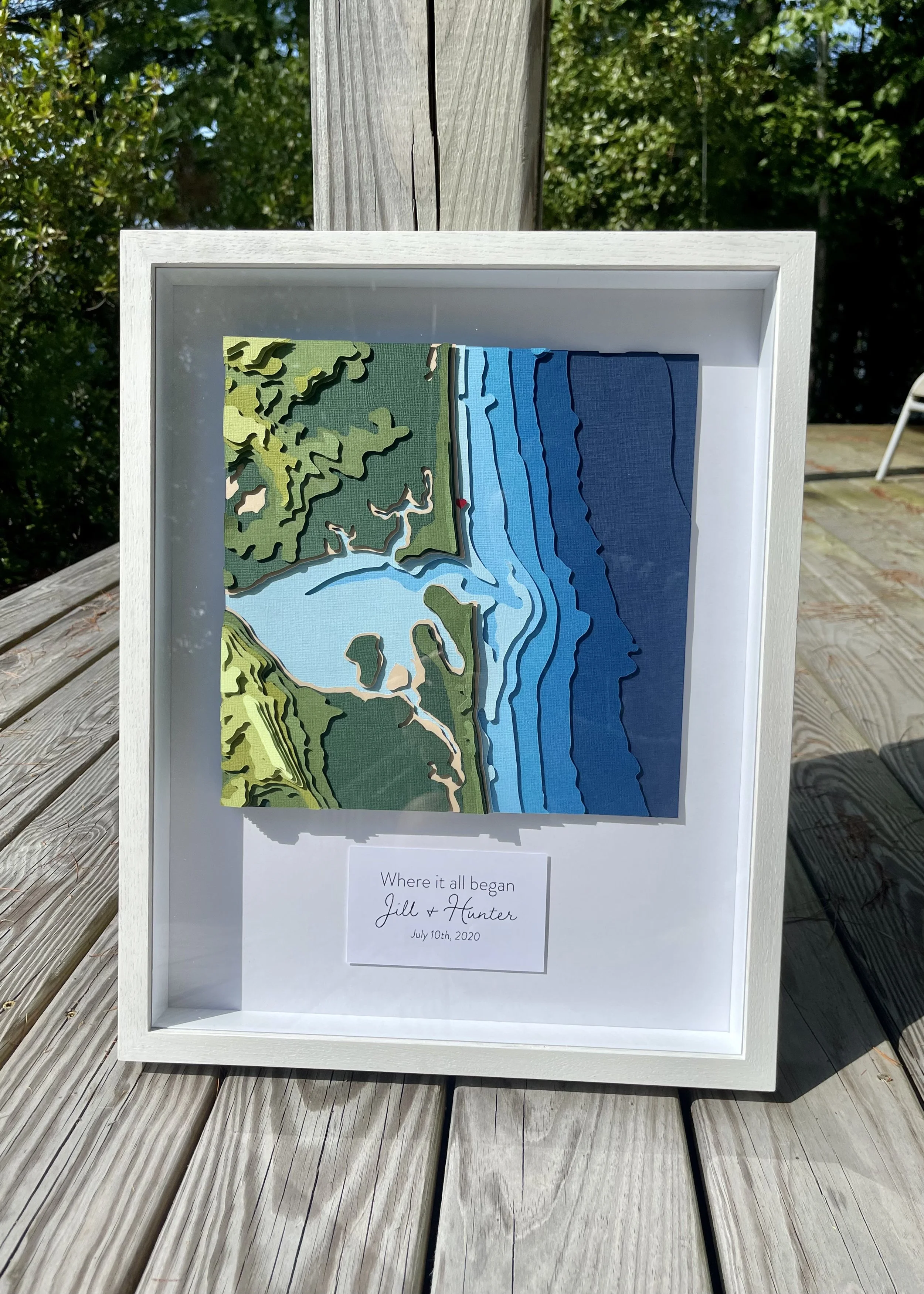
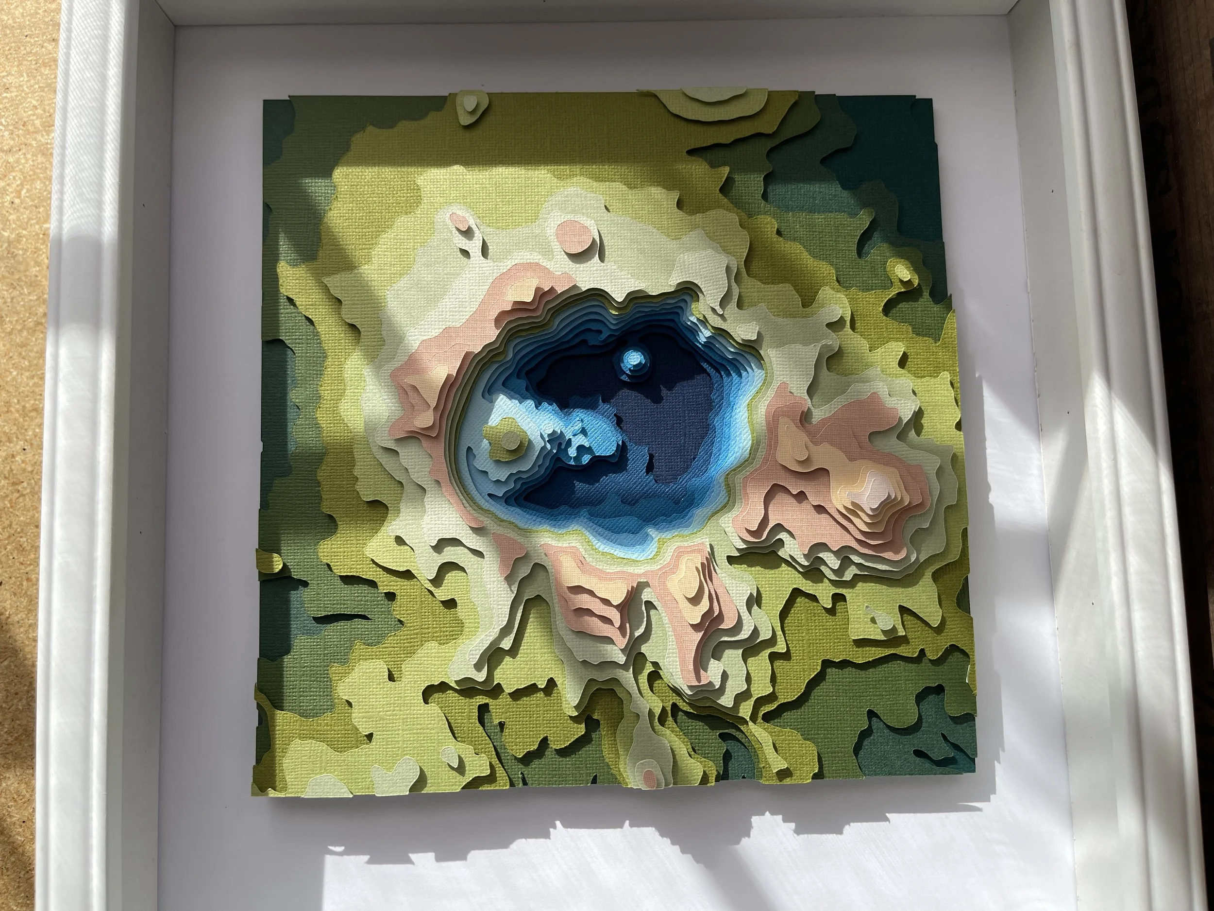
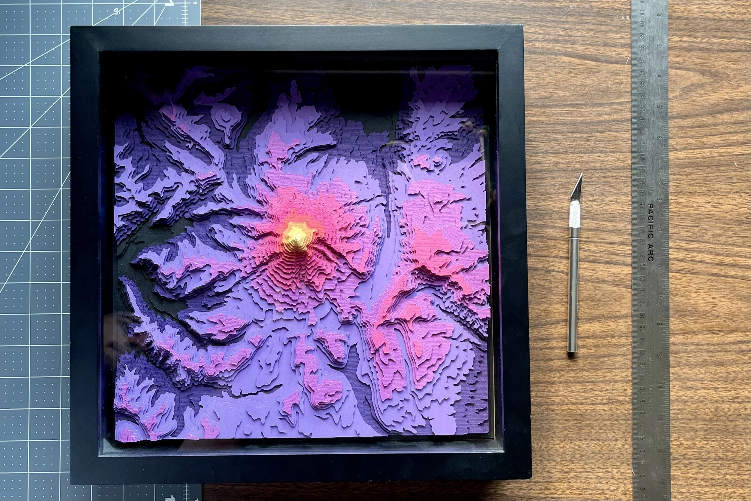
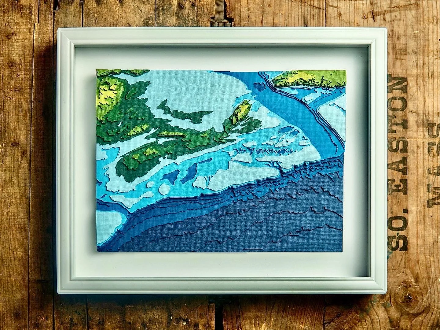
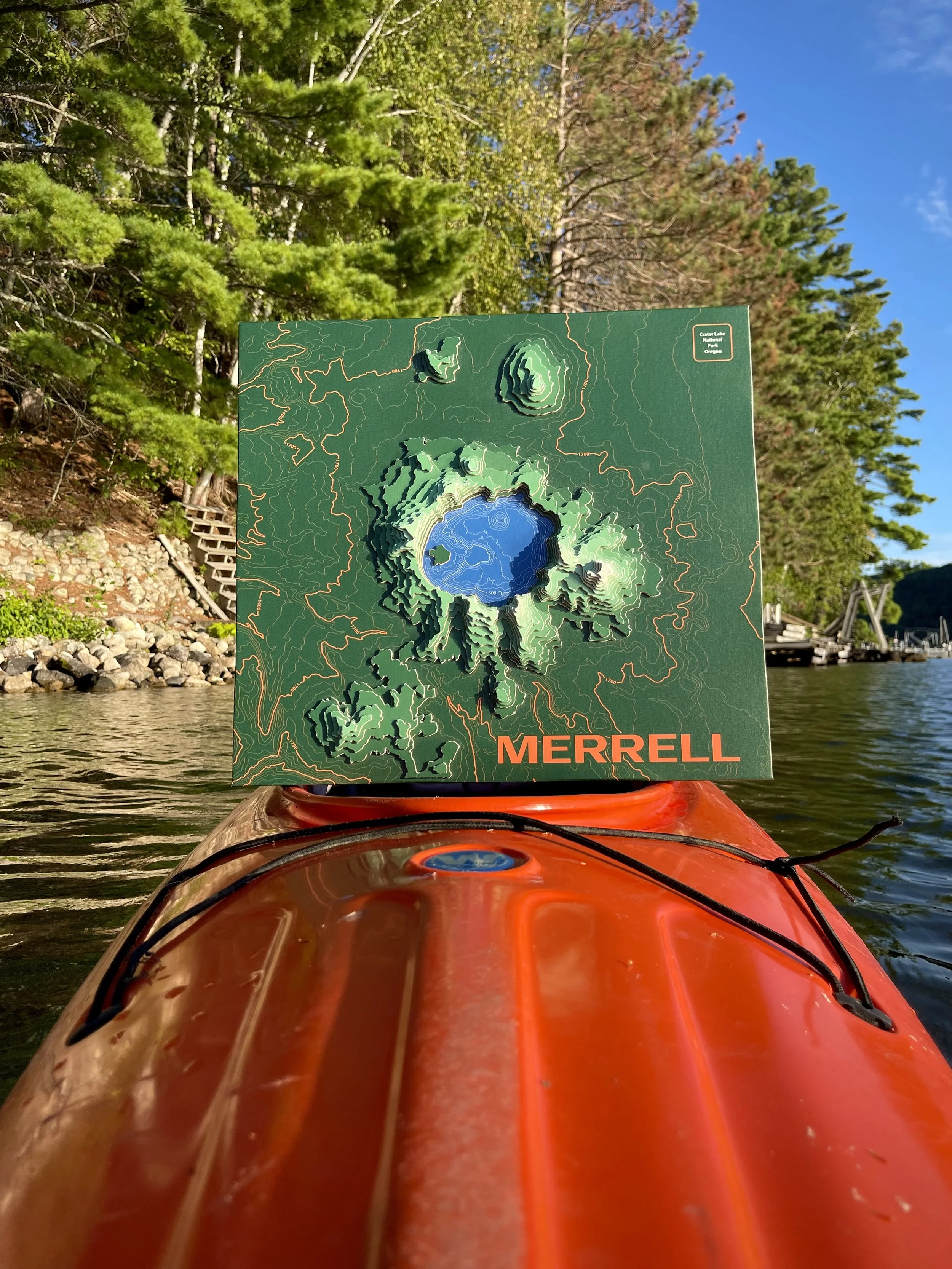
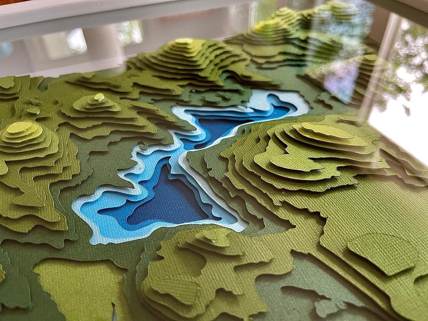
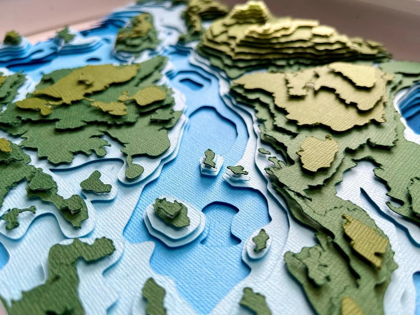
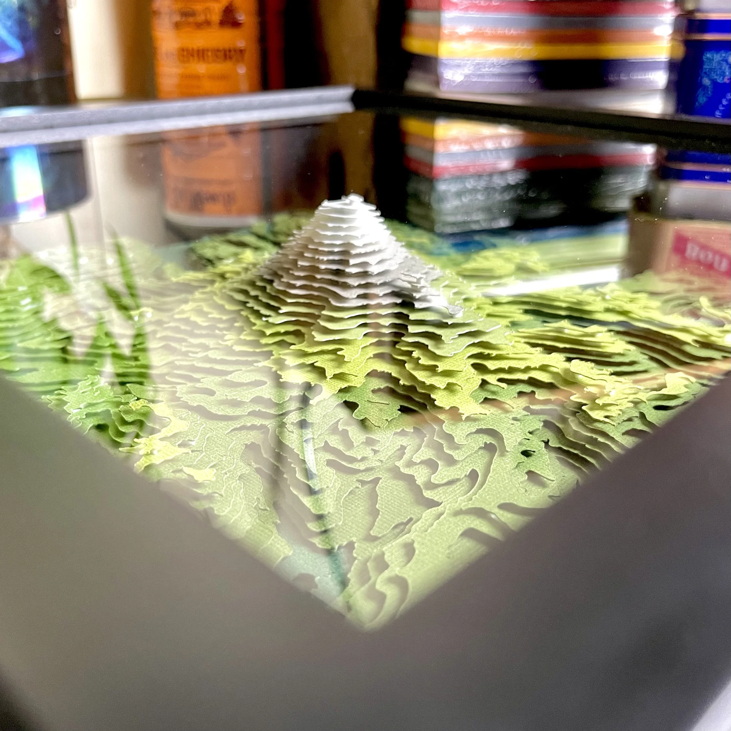
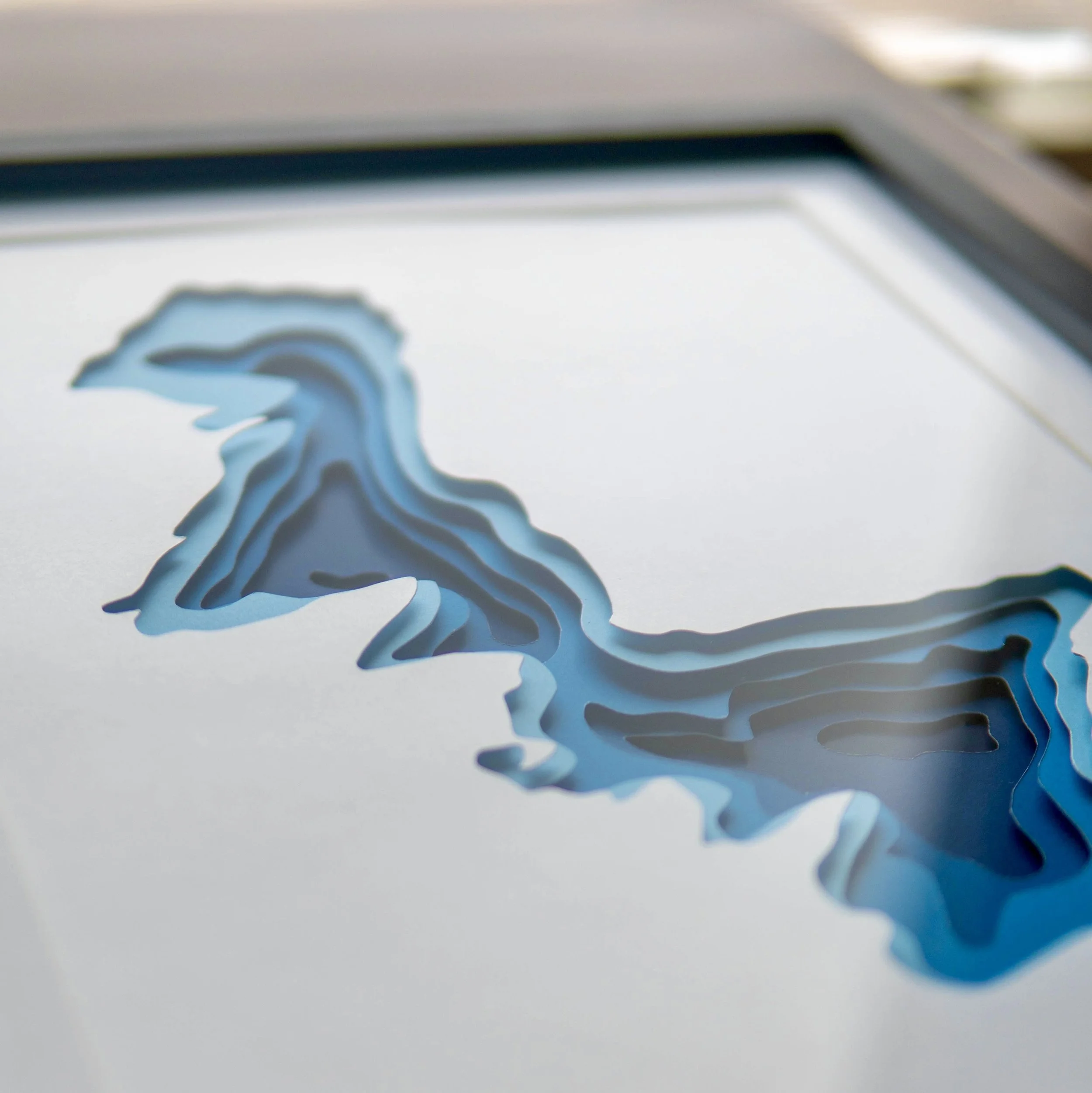
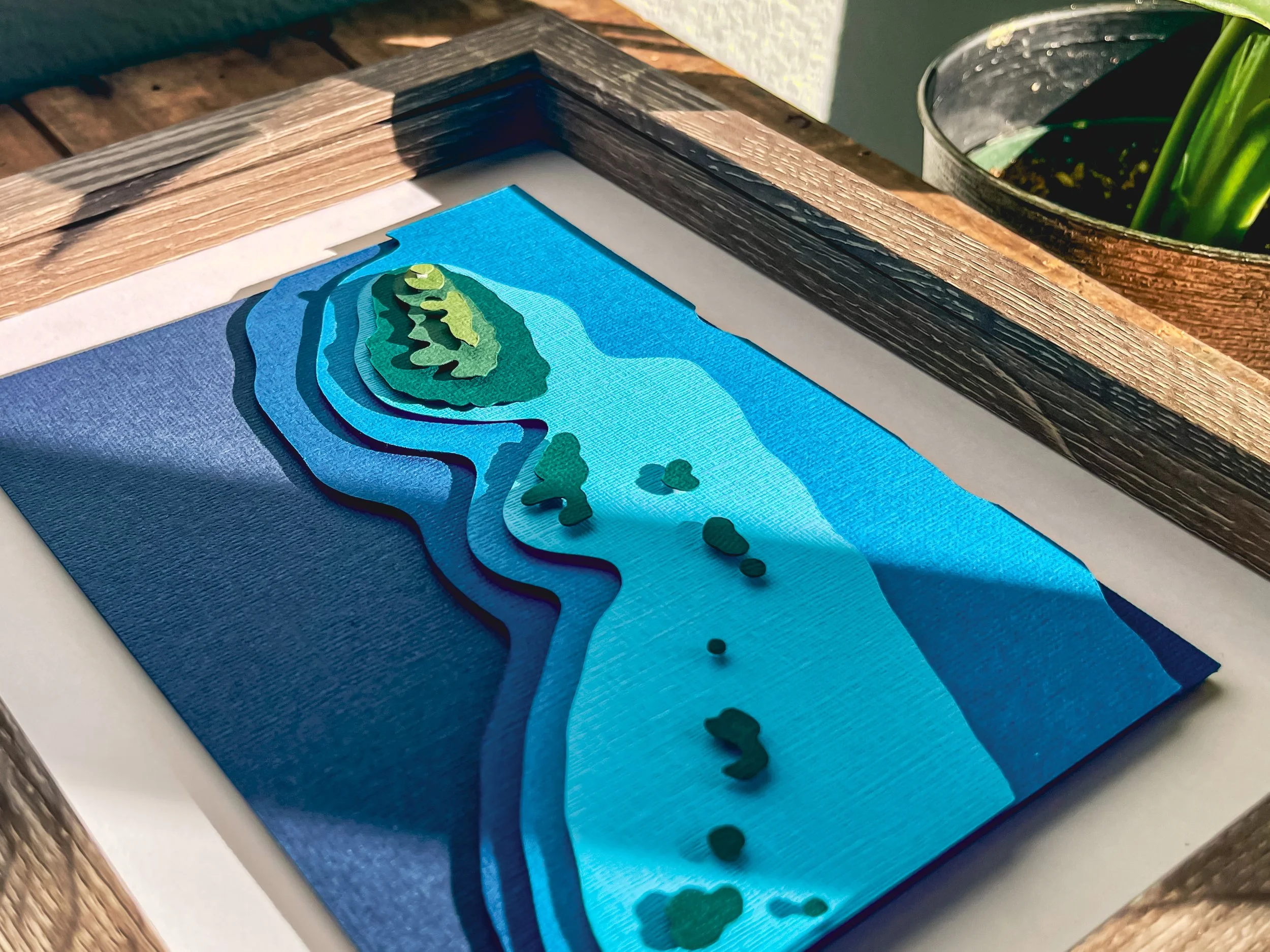
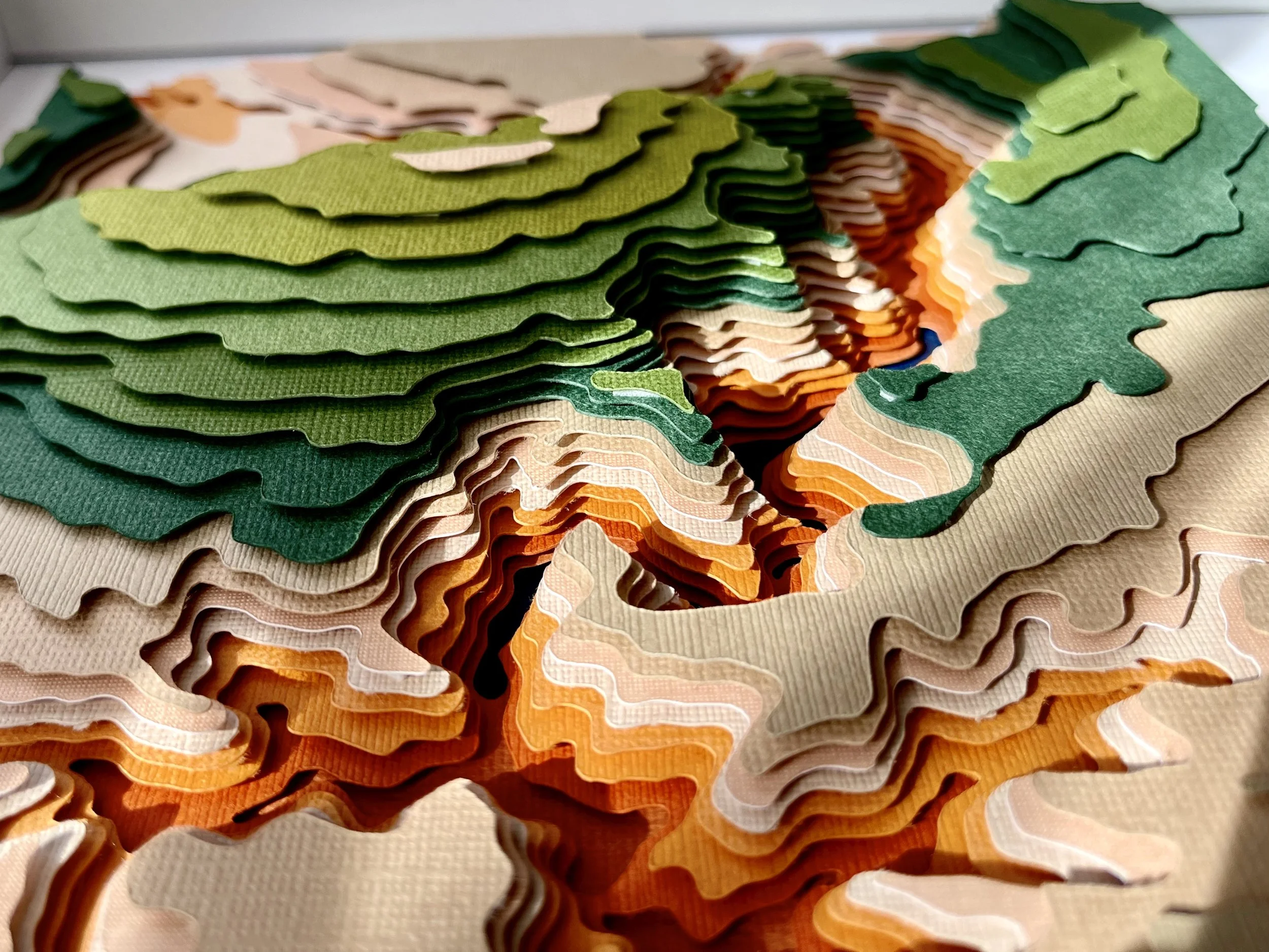
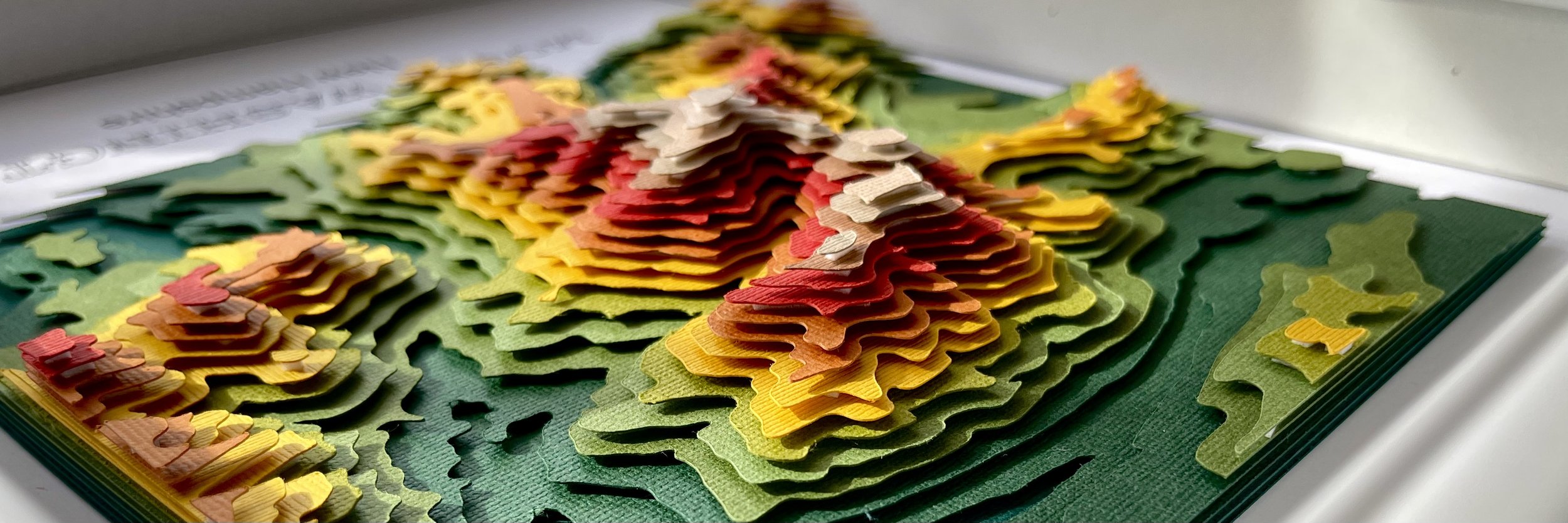
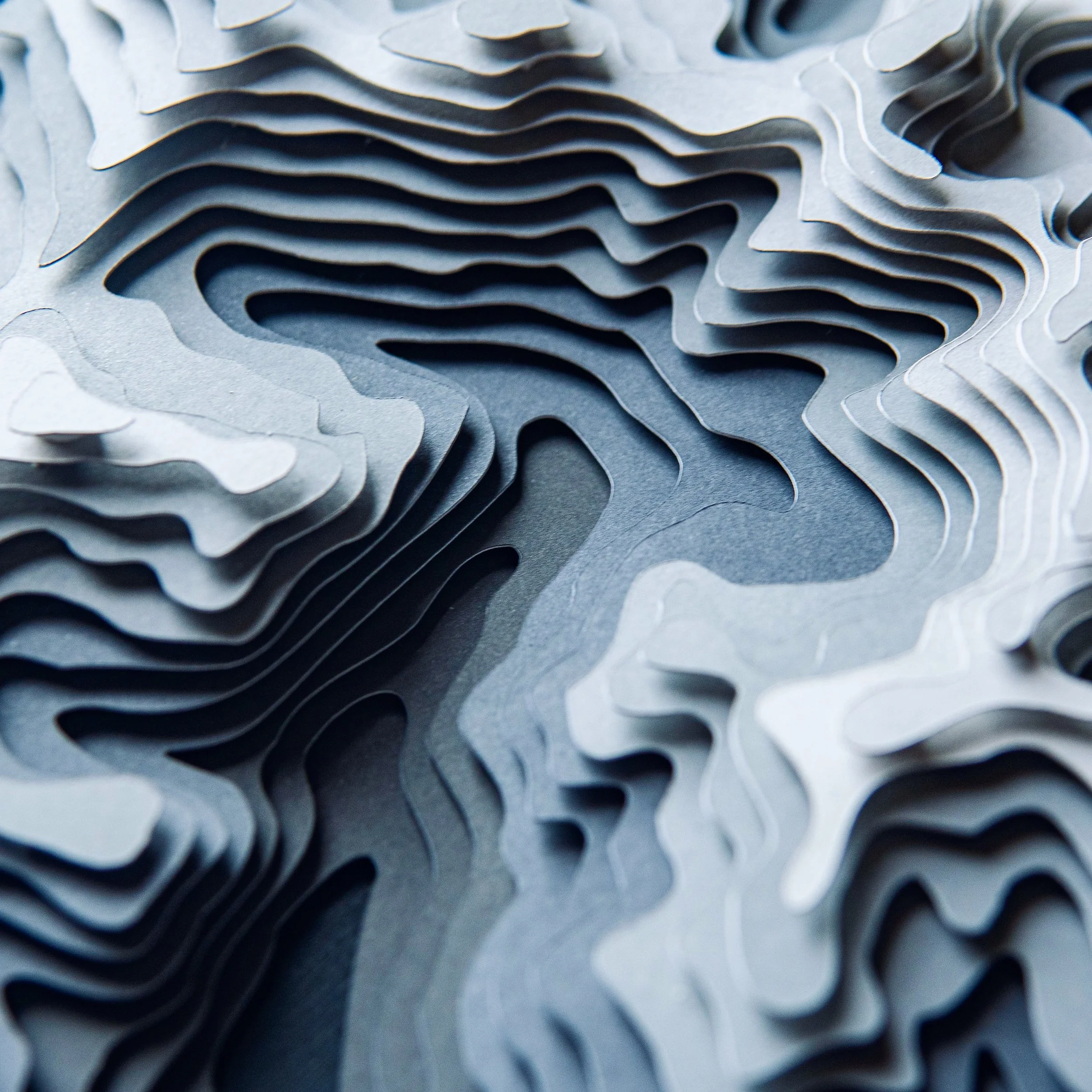
My layered paper maps capture the contours and character of real landscapes. Each piece starts with digital elevation data and is transformed into a tactile terrain model through precisely cut layers of cardstock. The result is a blend of design, craftsmanship, cartography, and geography.
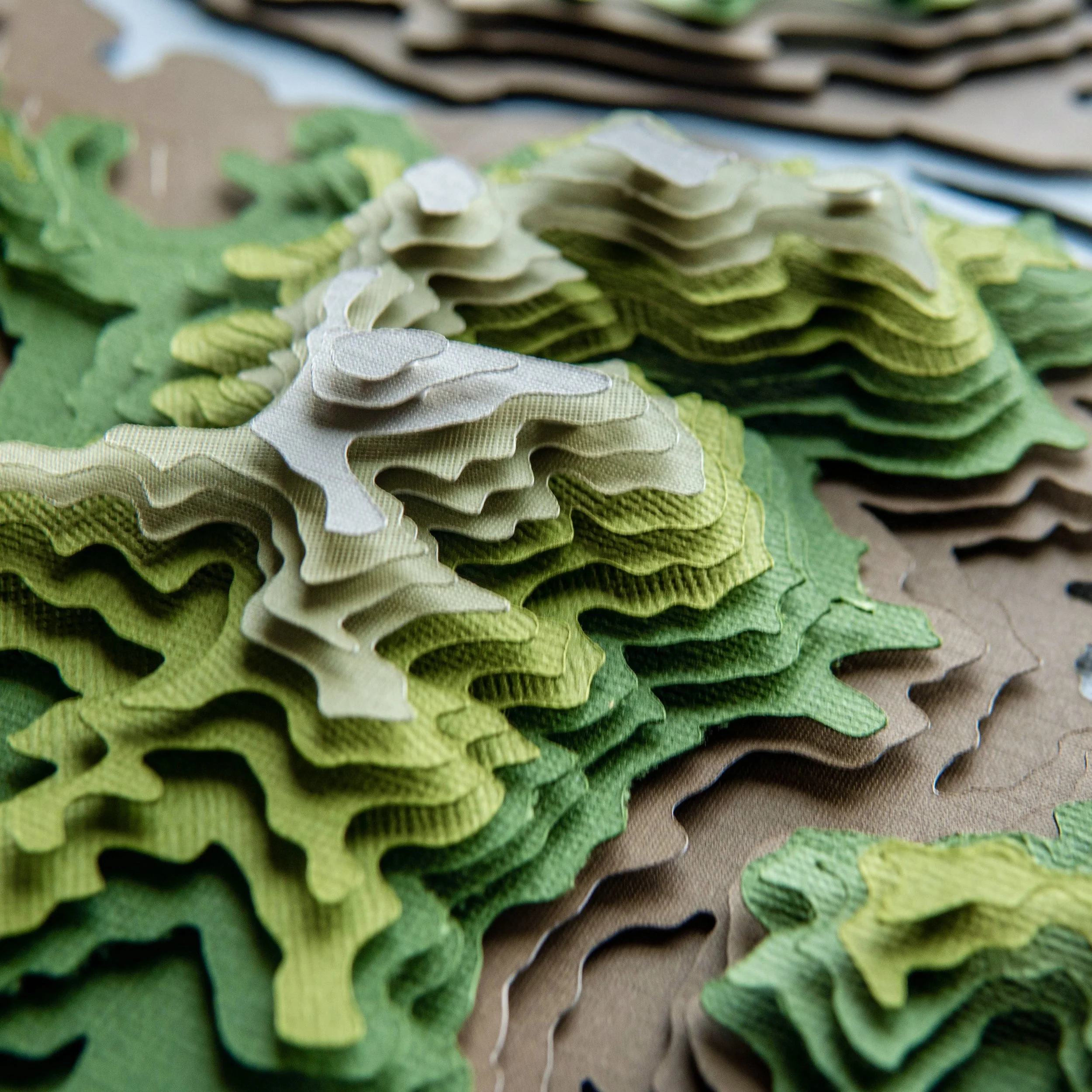
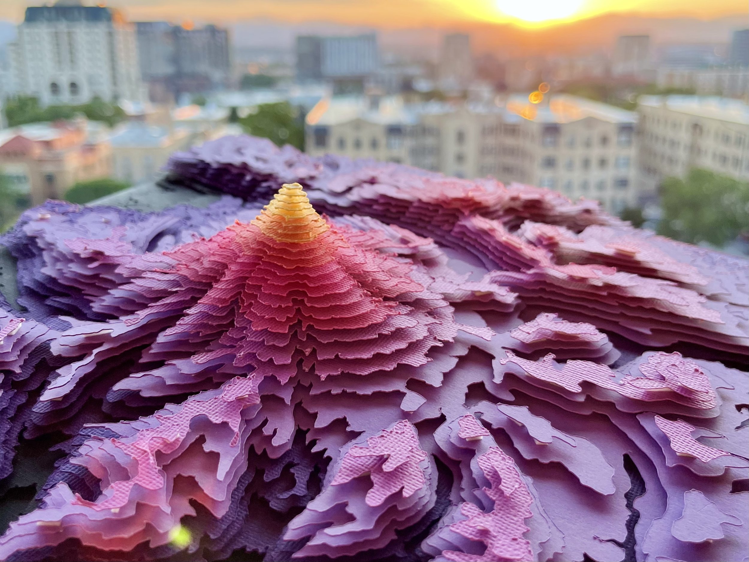

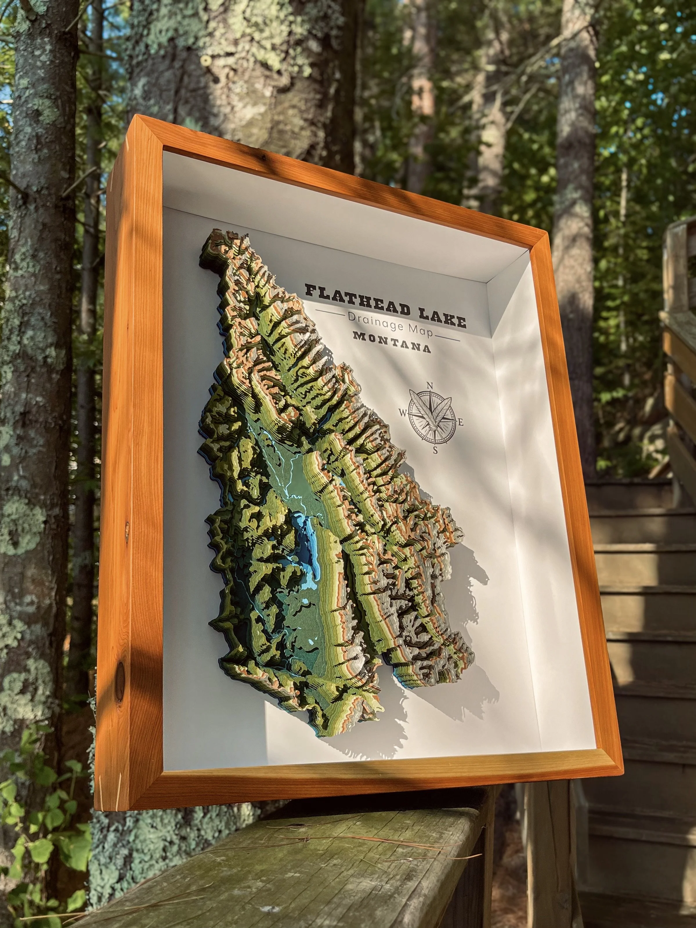
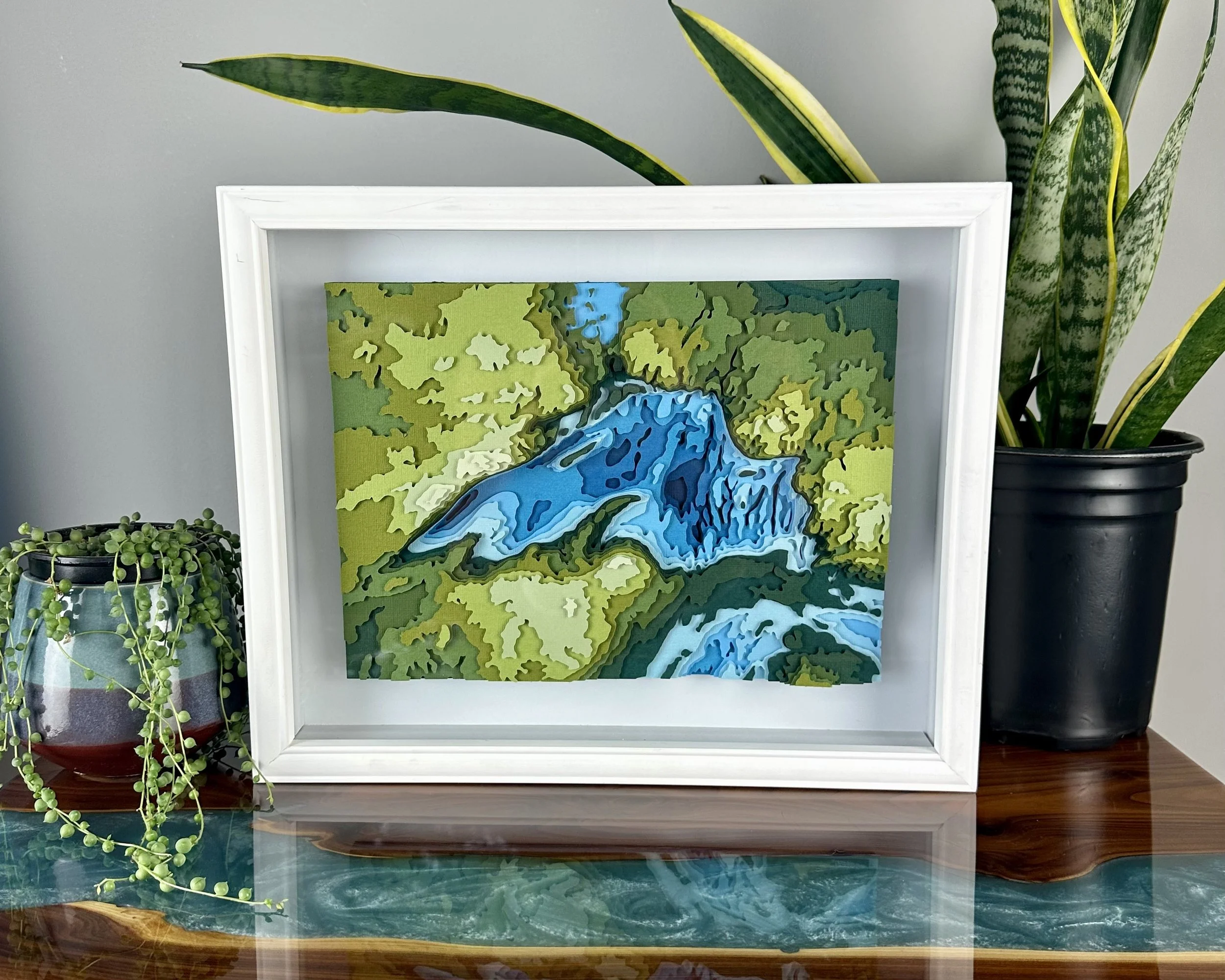
24 Layers Precision Cut Cardstock
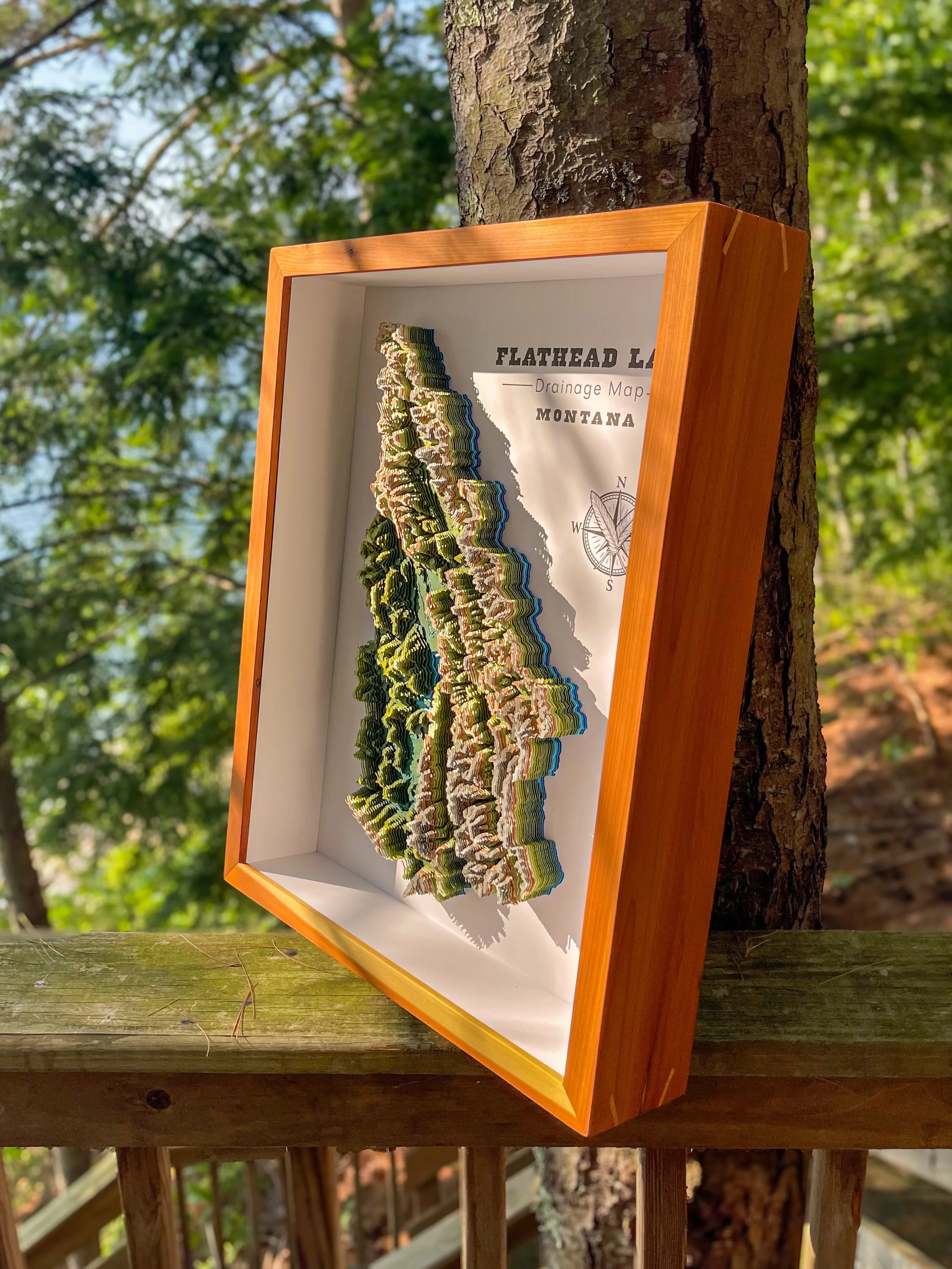
16 x 20” Red Cedar Frame
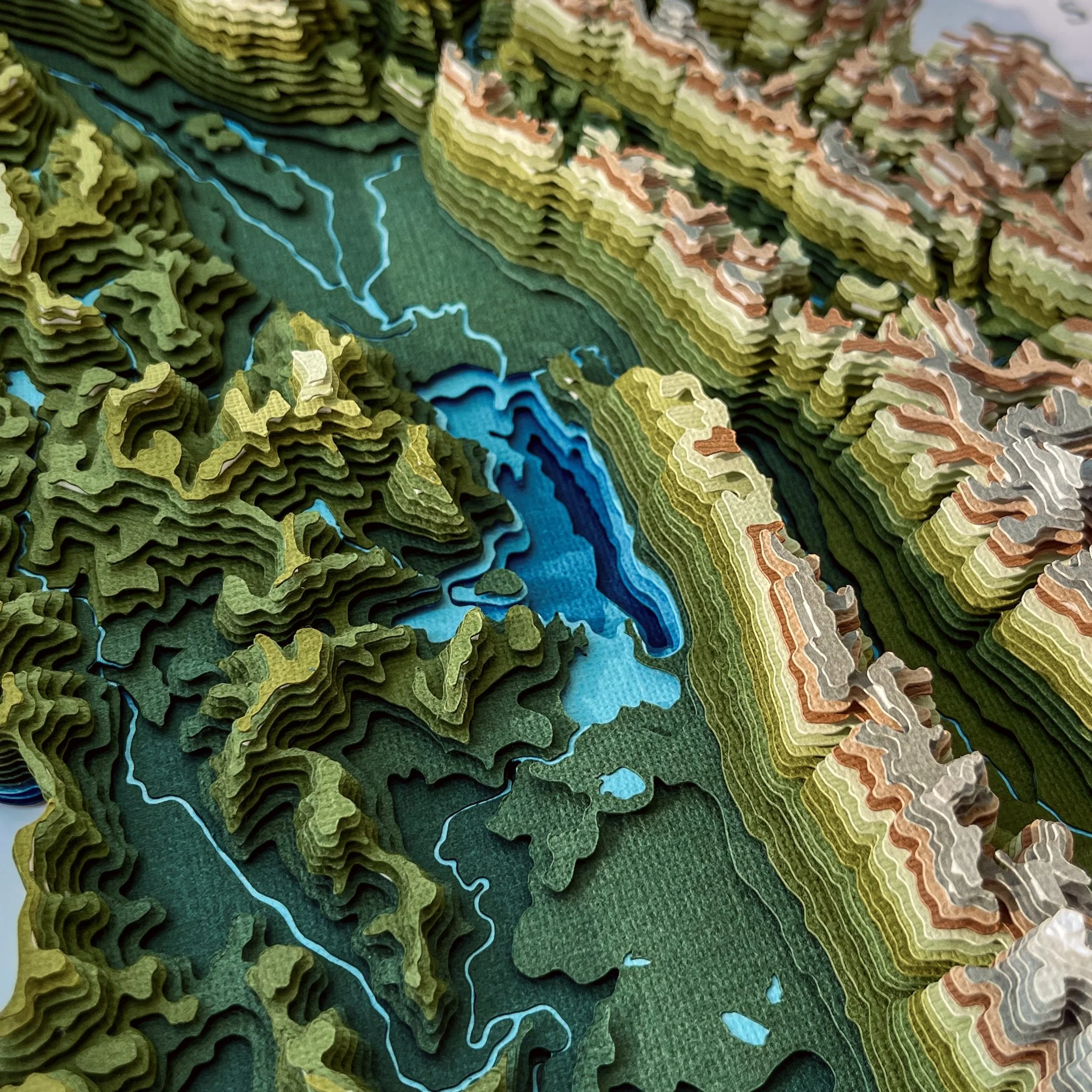
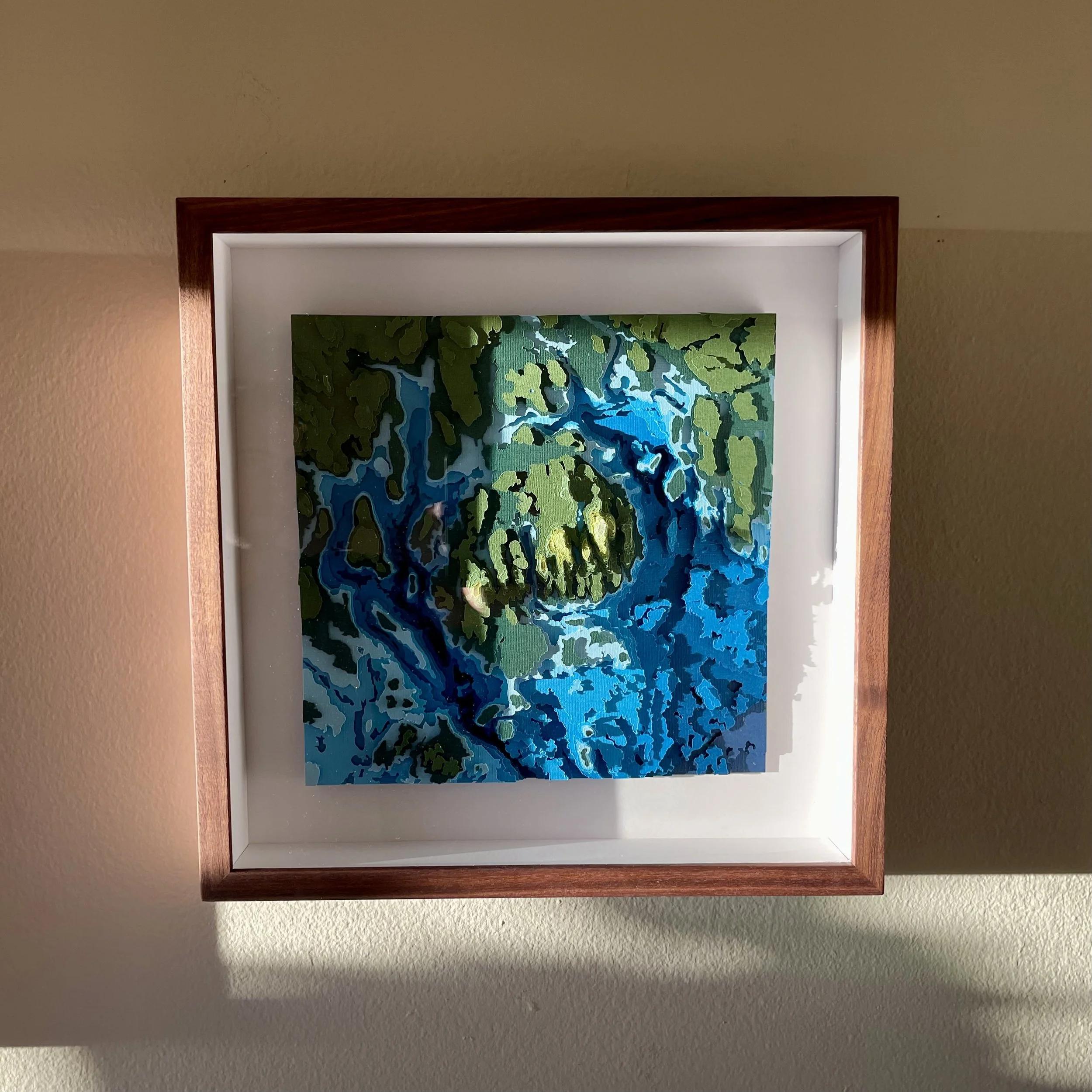
Fully custom topographic and bathymetric map depicting the full watershed of Flathead Lake, Montana.This map now finds itself adorning the walls of a waterside restaurant overlooking the water’s edge.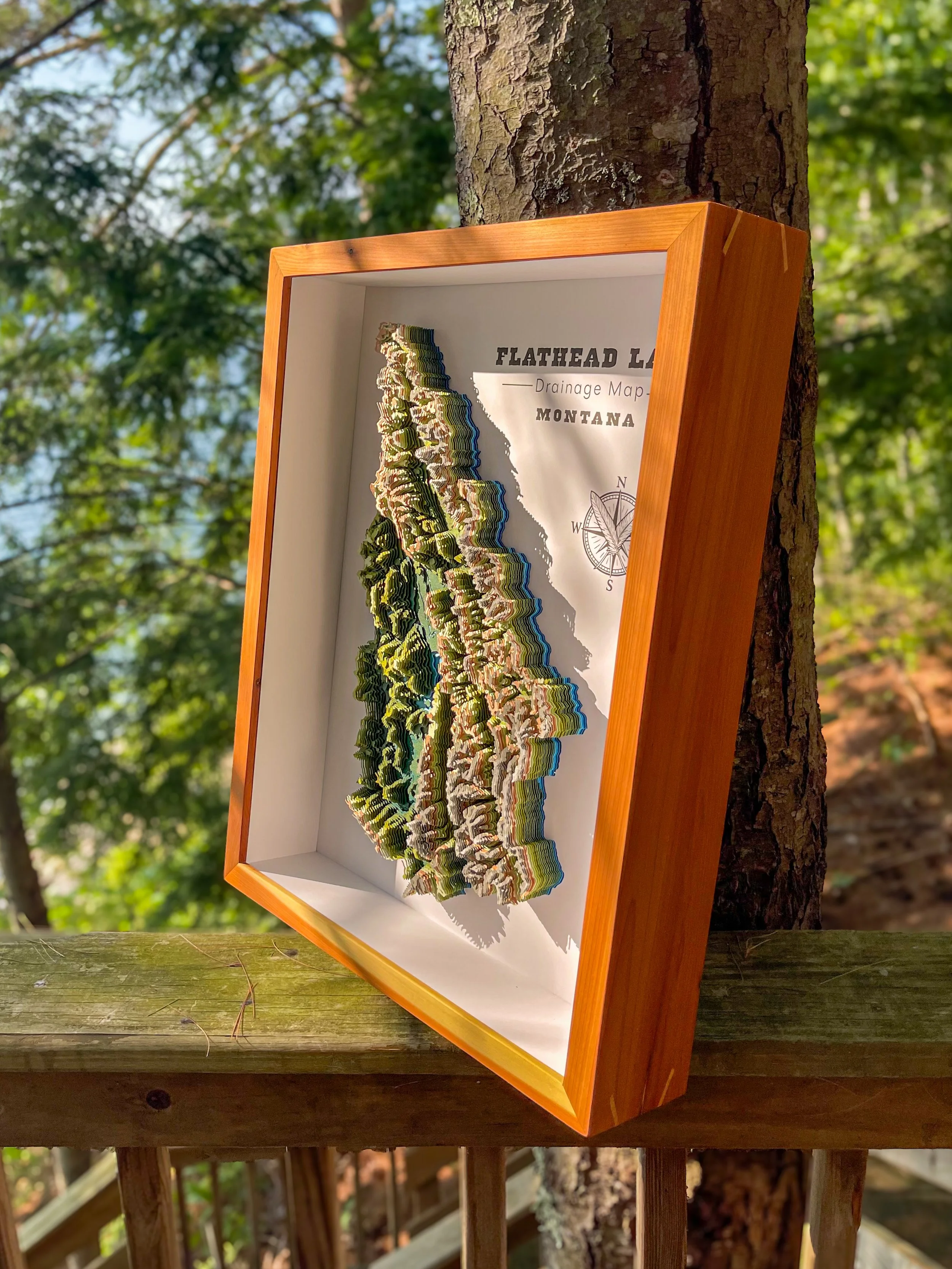
the process
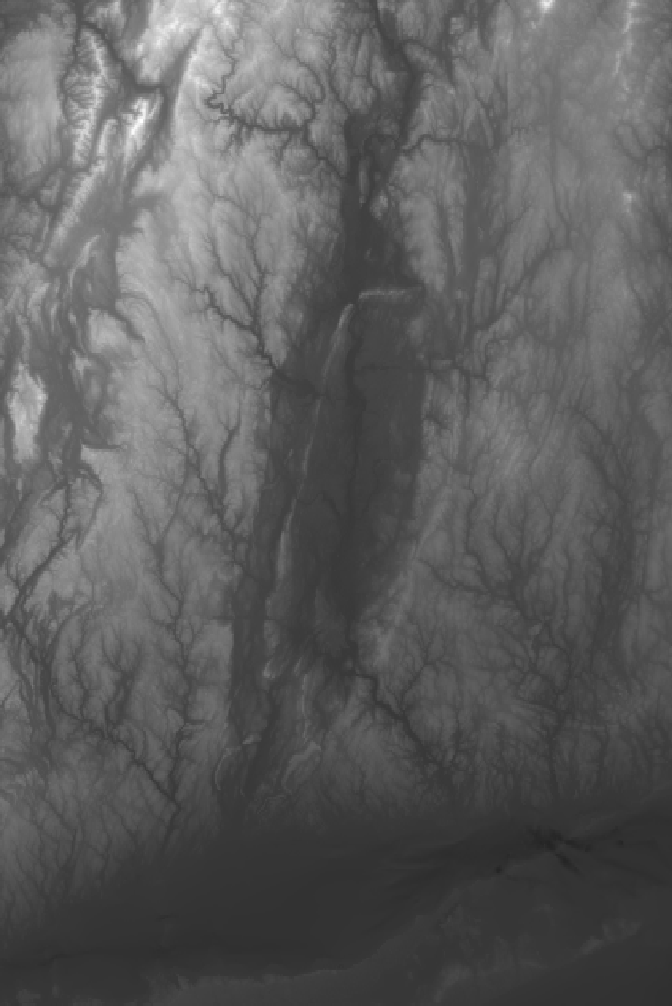
Data
-
Every map starts with real topographic and bathymetric data, sourced primarily from the USGS national mapping databases. This ensures accuracy and authenticity down to the smallest contour.
-
Using GIS software, I extract and refine the elevation data, sculpting it into smooth, layered contours ready for design. Past projects have also included incorporating OSM data an deciphering watershed maps.
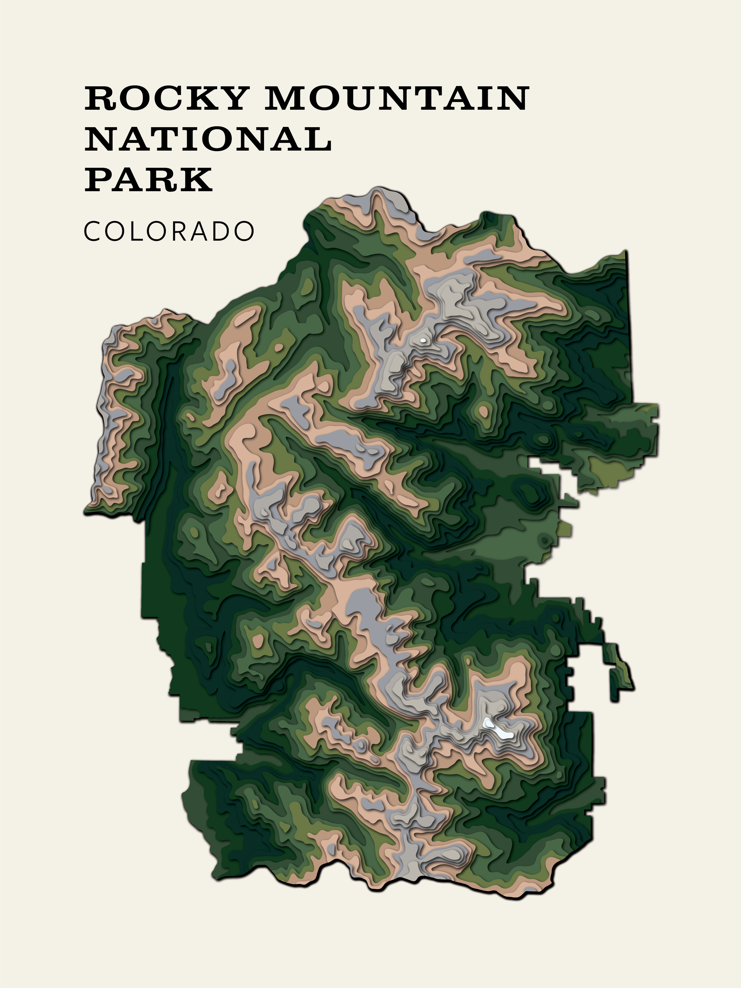
Design
-
The contours are transformed into precise vector layers with each one representing a distinct elevation or depth. This is where the raw data starts to become intentional art. Drop shadows are my best friend when it comes to the previews for my clients.
-
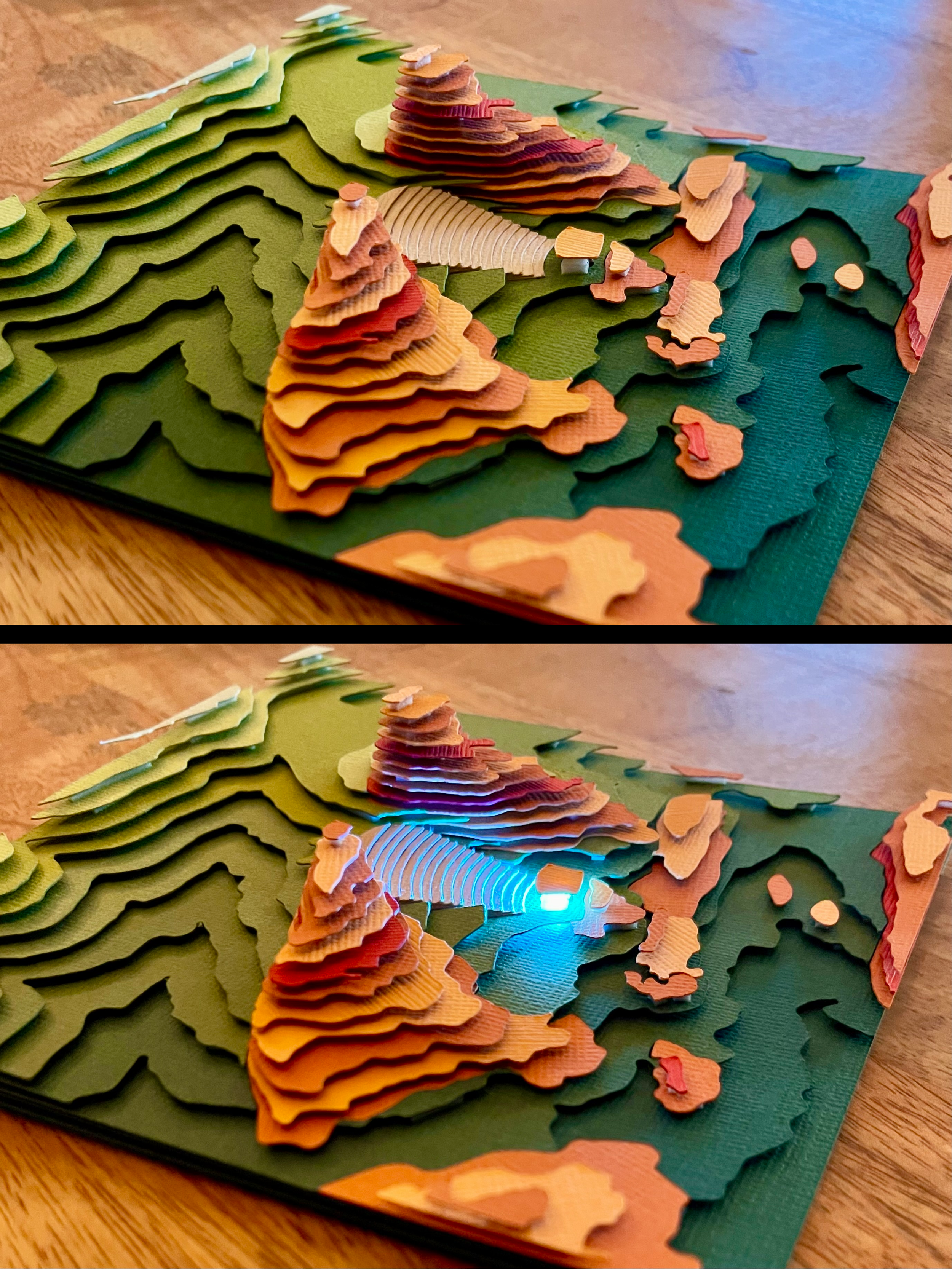
Every palette is chosen to reflect the landscape’s mood. Deep blues suit lake or ocean depths, while warm neutrals and greens for mountain ranges and peaks, or custom tones for commissioned pieces.
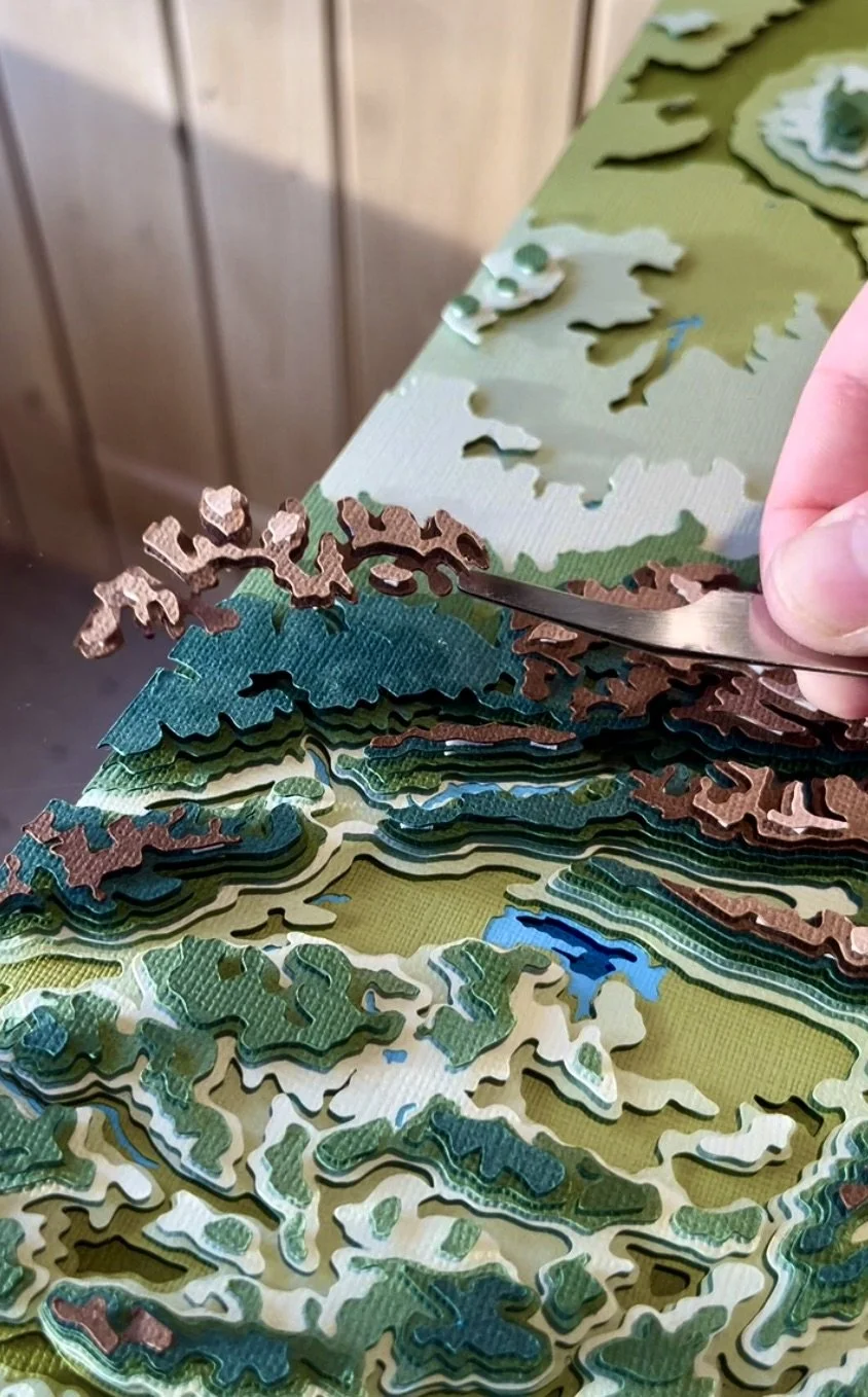
Make
-
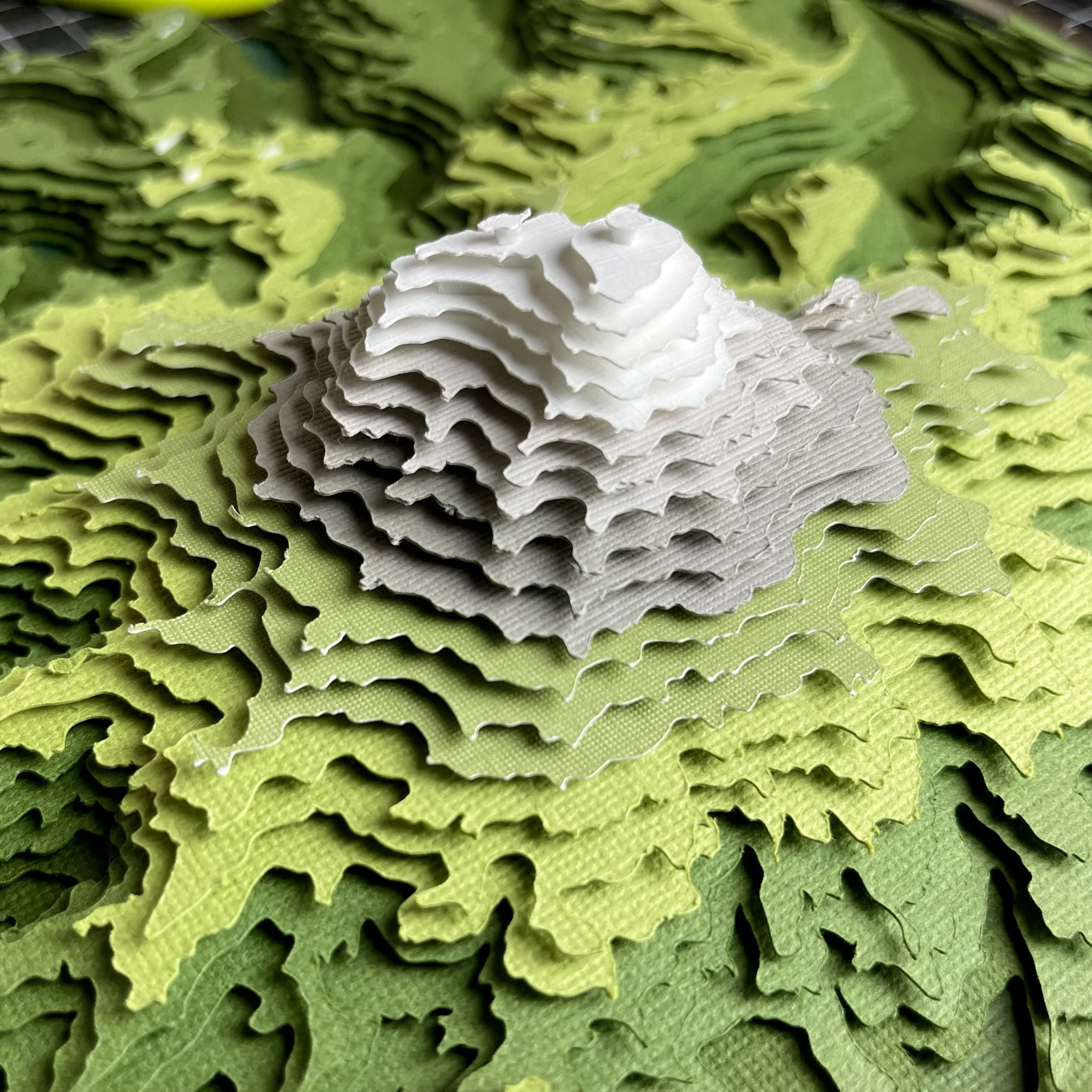
Each layer is cut from high-quality cardstock, ensuring crisp lines and consistent depth throughout the build. While my original maps were hand-cut, using a Cricut ensures accuracy, precision, and repeatability.
-
I assemble all layers by hand, piece by piece, aligning every contour with care and creating the dimensional terrain unique to each map.
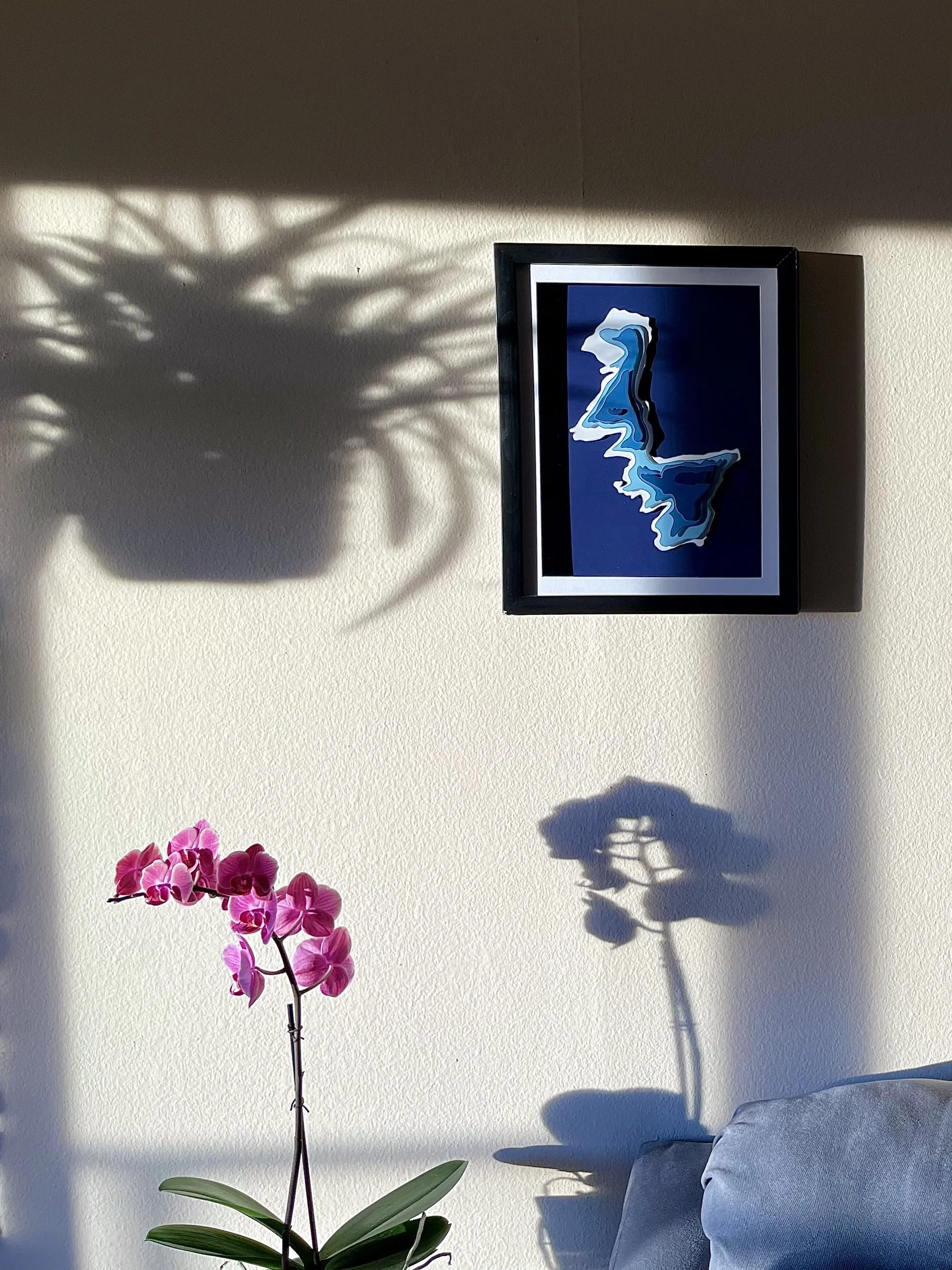
Photograph
-
Once complete, each map is photographed in natural light, highlighting its textures and depth while preserving the true colors of the materials.
-
I style each photo in context, whether surrounded by plants, wood tones, or natural textures to reflect how the piece lives within a space.